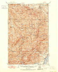
1938 Map of Mt Constance
USGS Topo · Published 1951About this map
Olympic National Park and Olympic National Forest dominate this 1930s landscape, which preserves the interior wilderness before later modern development. The high peaks of Mt. Anderson, Mt. La Crosse, and Mt. Constance tower over a network of backcountry shelters and ranger facilities, including the Hayes River Guard Sta and Dose Forks Shelter. In the northeast, the Tubal Cain Mine stands as a remnant of industrial ambition within the high country.
Find a feature on this map
191 named features on this map. Tap any name to fly to it.
Don’t see what you’re looking for? This feature index may not catch every label — zoom into the map to look around manually.
Map Details
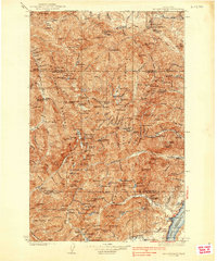
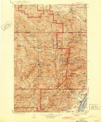
Editions of this 1938 Mt Constance Map
4 editions found
Other maps of this area

1918 · Port Angeles
USGS Topo · 1:62,500

1919 · Port Crescent
USGS Topo · 1:62,500

1921 · Satsop
USGS Topo · 1:62,500

1935 · Mount Olympus
USGS Topo · 1:62,500

1936 · Point Misery
USGS Topo · 1:62,500

1938 · Mt Constance
USGS Topo · 1:125,000

1938 · Dungeness
USGS Topo · 1:62,500

1938 · Allyn
USGS Topo · 1:62,500

1939 · Port Townsend
USGS Topo · 1:62,500

1939 · Dungeness
USGS Topo · 1:62,500