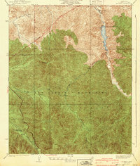
1940 Map of Mt. Emma
USGS Topo · Published 1940About this map
Little Rock Palmdale Dam stands as a significant hydrological marker in this 1930s survey of the San Gabriel Mountains. The landscape reflects early mid-century resource management and mountain infrastructure within the Angeles National Forest, characterized by the presence of a CCC Camp and a Gaging Sta along Little Rock Creek. These features, alongside the Transmission Line and a prominent Firebreak, indicate a period of active federal and county development aimed at fire suppression and water control. Settled life is represented by the Wagonwheel Ranch, located near the intersection of various canyons such as Soledad Canyon and Aliso Canyon. The map reveals the intricate drainage patterns of the high country, tracing the paths of Santiago Creek and the West Fork Canyon as they carve through the steep terrain between Mt Emma and Bare Mountain.
Find a feature on this map
22 named features on this map. Tap any name to fly to it.
Don’t see what you’re looking for? This feature index may not catch every label — zoom into the map to look around manually.
Map Details
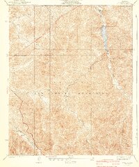
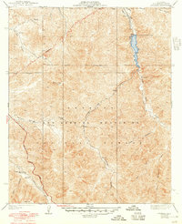
Editions of this 1940 Mt. Emma Map
3 editions found
Other maps of this area

1900 · Tujunga
USGS Topo · 1:62,500

1901 · Southern California Sheet No. 1
USGS Topo · 1:250,000

1903 · Rock Creek
USGS Topo · 1:62,500

1904 · Southern California Sheet No. 1
USGS Topo · 1:250,000

1915 · Elizabeth Lake
USGS Topo · 1:125,000

1917 · Elizabeth Lake
USGS Topo · 1:125,000

1930 · Little Rock
USGS Topo · 1:24,000

1930 · Pearland
USGS Topo · 1:24,000

1932 · Palmdale
USGS Topo · 1:24,000

1934 · Pearland
USGS Topo · 1:24,000