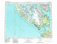
1961 Map of Mt Fairweather
USGS Topo · Published 1982About this map
Mount Fairweather and Mount Quincy Adams anchor the international boundary between British Columbia and the United States on this mid-century topographic survey. The coastal landscape is defined by massive ice fields and active glacial movement, with the Grand Plateau Glacier and Desolation Glacier flowing toward the Gulf of Alaska. Deep fjords like Johns Hopkins Inlet, Muir Inlet, and Rendu Inlet carve into the heart of Glacier Bay National Park, showing the intricate shoreline and numerous islands of the Tongass National Forest.
Find a feature on this map
95 named features on this map. Tap any name to fly to it.
Don’t see what you’re looking for? This feature index may not catch every label — zoom into the map to look around manually.
Map Details
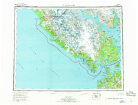
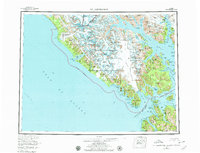
Editions of this 1961 Mt Fairweather Map
4 editions found

Other maps of this area

1948 · Juneau B-6
USGS Topo · 1:63,360

1948 · Juneau C-6
USGS Topo · 1:63,360

1948 · Mount Fairweather A-2
USGS Topo · 1:63,360

1948 · Mount Fairweather B-1
USGS Topo · 1:63,360

1948 · Sitka D-6
USGS Topo · 1:63,360

1948 · Mount Fairweather B-2
USGS Topo · 1:63,360

1948 · Sitka D-8
USGS Topo · 1:63,360

1948 · Mount Fairweather D-1
USGS Topo · 1:63,360

1948 · Mount Fairweather D-2
USGS Topo · 1:63,360

1948 · Mount Fairweather A-1
USGS Topo · 1:63,360