
1912 Map of Mt Guyot
USGS Topo · Published 1912About this map
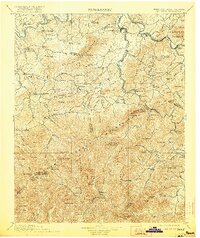
Mt Guyot stands as the central anchor of the state line between Tennessee and North Carolina, surrounded by the high-elevation peaks of the Great Smoky Mountains. This 1912 edition shows the region just before it was transformed into a national park, capturing a landscape of remote mountain communities and early logging-era infrastructure. The Southern RR and Southern River trace the northern valleys, serving the county seat at Newport.
Find a feature on this map
135 named features on this map. Tap any name to fly to it.
Don’t see what you’re looking for? This feature index may not catch every label — zoom into the map to look around manually.
Map Details
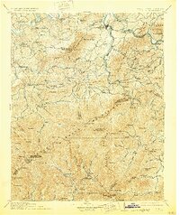
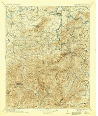
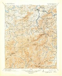
Editions of this 1912 Mt Guyot Map
5 editions found
Other maps of this area

1883 · Morristown
USGS Topo · 1:125,000

1886 · Knoxville
USGS Topo · 1:125,000

1891 · Cowee
USGS Topo · 1:125,000

1892 · Greeneville
USGS Topo · 1:125,000

1892 · Knoxville
USGS Topo · 1:125,000

1893 · Mt Guyot
USGS Topo · 1:125,000

1893 · Morristown
USGS Topo · 1:125,000

1894 · Asheville
USGS Topo · 1:125,000

1894 · Knoxville
USGS Topo · 1:125,000

1895 · Morristown
USGS Topo · 1:125,000