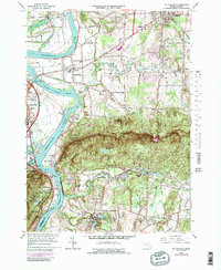
1964 Map of Mt Holyoke
USGS Topo · Published 1991About this map
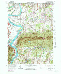
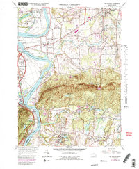
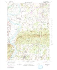
The Holyoke Range creates a dramatic east-west divide across this landscape, where the Connecticut River carves a sharp path southward through the mountains. To the north, the fertile floodplains support the long-established agricultural settlements of Hatfield and Hadley, with their characteristic long-lot field patterns still visible. Educational institutions are central to the regional identity, from the campus of Amherst College in the northeast to Smith Academy and Hopkins Academy. South of the ridge, the terrain transitions into the residential and industrial growth of South Hadley and Granby.
Find a feature on this map
67 named features on this map. Tap any name to fly to it.
Don’t see what you’re looking for? This feature index may not catch every label — zoom into the map to look around manually.
Map Details
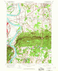
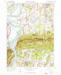
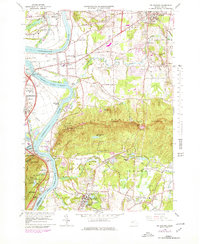
Editions of this 1964 Mt Holyoke Map
7 editions found
Other maps of this area

1885 · Northampton
USGS Topo · 1:62,500

1886 · Springfield
USGS Topo · 1:62,500

1886 · Northampton
USGS Topo · 1:62,500

1887 · Palmer
USGS Topo · 1:62,500

1887 · Belchertown
USGS Topo · 1:62,500

1889 · Springfield
USGS Topo · 1:62,500

1889 · Palmer
USGS Topo · 1:62,500

1890 · Belchertown
USGS Topo · 1:62,500

1891 · Northampton
USGS Topo · 1:62,500

1893 · Northampton
USGS Topo · 1:62,500