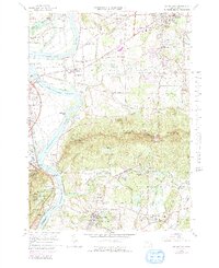
1964 Map of Mt. Holyoke
USGS Topo · Published 1991About this map
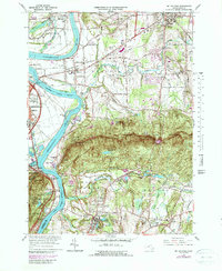
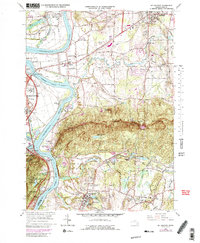
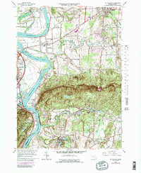
The Holyoke Range dominates this mid-century landscape, forming a prominent geological spine between the Connecticut River and the eastern agricultural plains. At the western edge, the river creates the distinctive Oxbow near Northampton, while the heights of Mt Holyoke and Bare Mtn provide the setting for Skinner State Park, complete with the Summit House and Halfway House. This terrain separates the river valley's fertile bottoms from the burgeoning academic and residential centers to the east.
Find a feature on this map
102 named features on this map. Tap any name to fly to it.
Don’t see what you’re looking for? This feature index may not catch every label — zoom into the map to look around manually.
Map Details
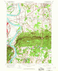
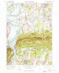
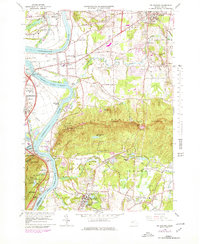
Editions of this 1964 Mt. Holyoke Map
7 editions found
Other maps of this area

1885 · Northampton
USGS Topo · 1:62,500

1886 · Springfield
USGS Topo · 1:62,500

1886 · Northampton
USGS Topo · 1:62,500

1887 · Palmer
USGS Topo · 1:62,500

1887 · Belchertown
USGS Topo · 1:62,500

1889 · Springfield
USGS Topo · 1:62,500

1889 · Palmer
USGS Topo · 1:62,500

1890 · Belchertown
USGS Topo · 1:62,500

1891 · Northampton
USGS Topo · 1:62,500

1893 · Northampton
USGS Topo · 1:62,500