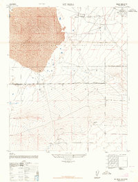
1947 Map of Mt. Mesa
USGS Topo · Published 1964About this map
Rogers Lake dominates the upper northwestern portion of this terrain, marking a stark boundary within the expansive Mojave Desert. The landscape is heavily defined by the presence of the Muroc Army Airfield Military Reservation, a site of critical importance for early postwar aeronautical testing. The presence of several Lookout Towers along the northern ridges suggest a network of observation points established to monitor the wide valley floor below.
Find a feature on this map
7 named features on this map. Tap any name to fly to it.
Don’t see what you’re looking for? This feature index may not catch every label — zoom into the map to look around manually.
Map Details
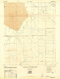
Editions of this 1947 Mt. Mesa Map
2 editions found
Other maps of this area

1930 · Joshua
USGS Topo · 1:24,000

1931 · Hi Vista
USGS Topo · 1:24,000

1934 · Joshua
USGS Topo · 1:24,000

1935 · Hi Vista
USGS Topo · 1:24,000

1937 · Shadow Mountains
USGS Topo · 1:48,000

1937 · Kramer
USGS Topo · 1:48,000

1937 · Rogers Lake
USGS Topo · 1:48,000

1942 · Kramer
USGS Topo · 1:62,500

1942 · Shadow Mountains
USGS Topo · 1:62,500

1942 · Rogers Lake
USGS Topo · 1:62,500