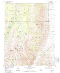
1982 Map of Mt. Morgan
USGS Topo · Published 1986About this map
Wheeler Ridge and the high Sierra peaks of the John Muir Wilderness dominate this high-altitude landscape in the early 1980s. The map documents an area defined by glacial lakes and the seasonal activity of Inyo National Forest, where a network of recreational sites like Palisade Campground and Rock Creek Lake Campground line the narrow valley of Rock Creek.
Find a feature on this map
51 named features on this map. Tap any name to fly to it.
Don’t see what you’re looking for? This feature index may not catch every label — zoom into the map to look around manually.
Map Details
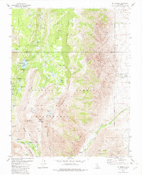
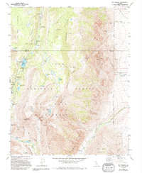
Editions of this 1982 Mt. Morgan Map
3 editions found
Other maps of this area

1912 · Mt. Goddard
USGS Topo · 1:125,000

1914 · Mt. Morrison
USGS Topo · 1:125,000

1947 · Mariposa
USGS Topo · 1:250,000

1948 · Mariposa
USGS Topo · 1:250,000

1949 · Mt. Tom
USGS Topo · 1:62,500

1951 · Mt. Tom
USGS Topo · 1:62,500

1953 · Mt. Morrison
USGS Topo · 1:62,500

1953 · Casa Diablo Mtn
USGS Topo · 1:62,500

1953 · Mt Abbot
USGS Topo · 1:62,500
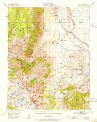
1954 · Mt. Tom
USGS Topo · 1:62,500