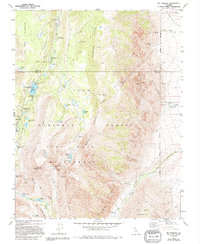
1982 Map of Mt. Morgan
USGS Topo · Published 1994About this map
Wheeler Ridge and the High Sierra peaks dominate this 1980s landscape, where Inyo and Mono counties meet along a high-altitude boundary. This area is defined by its deep glacially-carved valleys and a dense concentration of subalpine water bodies, including Rock Creek Lake, Kenneth Lake, and the Tamarack Lakes. The presence of the Adamson Mine and the historical Scheelite (Site) near Pine Creek points to the region's mid-century tungsten mining history, which operated in some of the most challenging terrain in the Inyo National Forest. Recreational infrastructure is well-established along Rock Creek, with several mapped sites like Mosquito Flat Campground and Lake Inlet Campground serving as gateways to the John Muir Wilderness. The topography is marked by significant summits like Mt Morgan and Broken Finger Peak, with 4WD tracks providing the only motorized access into the higher elevations.
Find a feature on this map
41 named features on this map. Tap any name to fly to it.
Don’t see what you’re looking for? This feature index may not catch every label — zoom into the map to look around manually.
Map Details
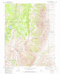
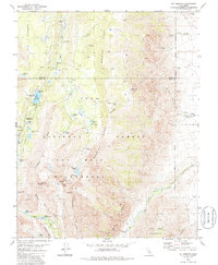
Editions of this 1982 Mt. Morgan Map
3 editions found
Other maps of this area

1912 · Mt. Goddard
USGS Topo · 1:125,000

1914 · Mt. Morrison
USGS Topo · 1:125,000

1947 · Mariposa
USGS Topo · 1:250,000

1948 · Mariposa
USGS Topo · 1:250,000

1949 · Mt. Tom
USGS Topo · 1:62,500

1951 · Mt. Tom
USGS Topo · 1:62,500

1953 · Mt. Morrison
USGS Topo · 1:62,500

1953 · Casa Diablo Mtn
USGS Topo · 1:62,500

1953 · Mt Abbot
USGS Topo · 1:62,500
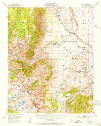
1954 · Mt. Tom
USGS Topo · 1:62,500