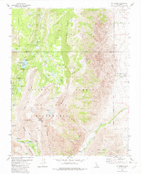
1982 Map of Mt. Morgan
USGS Topo · Published 1982About this map
Mt Morgan and the dramatic peaks of the John Muir Wilderness define this high-altitude terrain in the early 1980s. The landscape is a study in verticality, where the steep eastern escarpment of Wheeler Ridge gives way to the deep basins of Little Lakes Valley. Human activity in these peaks is centered on extraction and recreation, with the Adamson Mine and various Mines and Prospects indicating the area's mineral interest near the Scheelite (Site). Drainage from the alpine snowpack feeds a complex network of water bodies, including Rock Creek Lake and Upper Morgan Lake, which supported several recreation sites like Mosquito Flat Campground and Palisade Campground. This survey captures the region as it was managed by the Inyo National Forest, showing a network of 4wd tracks and a remote Landing Strip serving the rugged interior.
Find a feature on this map
51 named features on this map. Tap any name to fly to it.
Don’t see what you’re looking for? This feature index may not catch every label — zoom into the map to look around manually.
Map Details
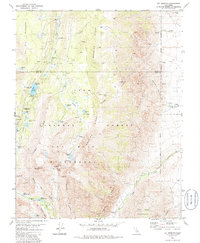
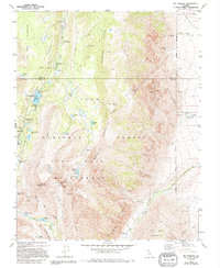
Editions of this 1982 Mt. Morgan Map
3 editions found
Other maps of this area

1912 · Mt. Goddard
USGS Topo · 1:125,000

1914 · Mt. Morrison
USGS Topo · 1:125,000

1947 · Mariposa
USGS Topo · 1:250,000

1948 · Mariposa
USGS Topo · 1:250,000

1949 · Mt. Tom
USGS Topo · 1:62,500

1951 · Mt. Tom
USGS Topo · 1:62,500

1953 · Mt. Morrison
USGS Topo · 1:62,500

1953 · Casa Diablo Mtn
USGS Topo · 1:62,500

1953 · Mt Abbot
USGS Topo · 1:62,500
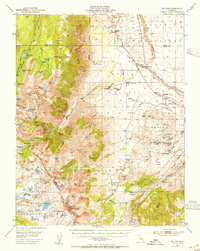
1954 · Mt. Tom
USGS Topo · 1:62,500