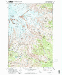
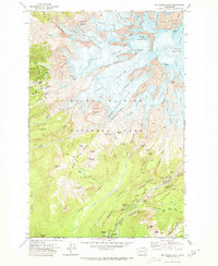
1971 Map of Mt Rainier East
USGS Topo · Published 1995About this map
Mount Rainier National Park is defined by its massive glacial systems and high-altitude base camps in this early 1970s survey. The map details the Eastern slopes, where the Emmons Glacier and Winthrop Glacier flow from the summit past landmarks like Steamboat Prow and Camp Schurman. Further south, the climbing route through Cowlitz Cleaver leads to Camp Muir, a critical staging point for mountaineers.
Find a feature on this map
102 named features on this map. Tap any name to fly to it.
Don’t see what you’re looking for? This feature index may not catch every label — zoom into the map to look around manually.
Map Details
Editions of this 1971 Mt Rainier East Map
2 editions found
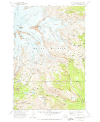
Other maps of this area

1924 · Mt Rainier
USGS Topo · 1:96,000

1928 · Mt Rainier
USGS Topo · 1:125,000

1950 · Yakima
USGS Topo · 1:250,000

1958 · Yakima
USGS Topo · 1:250,000

1961 · Yakima
USGS Topo · 1:250,000

1962 · Randle
USGS Topo · 1:62,500

1962 · Packwood
USGS Topo · 1:62,500
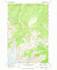
1971 · Sunrise
USGS Topo · 1:24,000
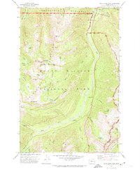
1971 · White River Park
USGS Topo · 1:24,000
1971 · Mt Rainier West
USGS Topo · 1:24,000