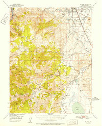
1952 Map of Mt. Rose
USGS Topo · Published 1952About this map
Bowers Mansion stands near the edge of Washoe Valley, anchoring a landscape where the Sierra Nevada peaks meet the desert meadows of early 1950s Nevada. The high-altitude terrain is dominated by Mt Rose and Slide Mtn, while the valleys show a complex network of water management via the Truckee Ditch, Last Chance Ditch, and Steamboat Ditch. These waterways supported settlements like Franktown and the burgeoning industrial and transport hubs near the Reno Airport.
Find a feature on this map
83 named features on this map. Tap any name to fly to it.
Don’t see what you’re looking for? This feature index may not catch every label — zoom into the map to look around manually.
Map Details
Editions of this 1952 Mt. Rose Map
This is the sole edition of this map. No revisions or reprints were ever made.
Other maps of this area
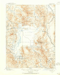
1890 · Sierraville
USGS Topo · 1:125,000
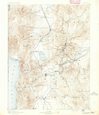
1891 · Carson
USGS Topo · 1:125,000
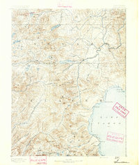
1891 · Truckee
USGS Topo · 1:125,000
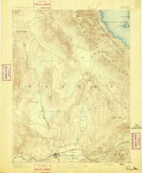
1891 · Reno
USGS Topo · 1:125,000
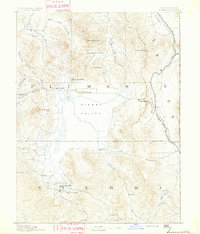
1892 · Sierraville
USGS Topo · 1:125,000
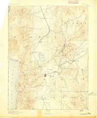
1893 · Carson
USGS Topo · 1:125,000
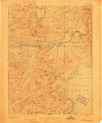
1893 · Truckee
USGS Topo · 1:125,000
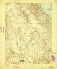
1893 · Reno
USGS Topo · 1:125,000
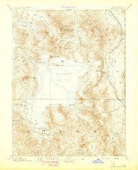
1894 · Sierraville
USGS Topo · 1:125,000
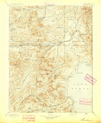
1895 · Truckee
USGS Topo · 1:125,000