
1951 Map of Mt Saint Elias
USGS Topo · Published 1952About this map
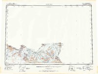
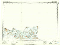
Mt St Elias anchors this survey of the international border between Alaska and the Yukon Territory. Compiled from 1948 trimetrogon photography and earlier International Boundary Commission surveys, the sheet reveals a landscape dominated by massive ice fields and high peaks. The enormous Malaspina Glacier spreads across the southern coast, while the Hubbard Glacier and Seward Glacier carve deep paths through the Saint Elias Mountains. This survey documents a critical era of post-war cartography in the First Judicial Division, capturing the complex glacial formations around Disenchantment Bay and Mt Vancouver before decades of modern glacial recession. Notable landmarks like Blossom I and the Samovar Hills provide fixed points amidst the shifting ice of the Lucia Glacier and Atrevida Gl.
Find a feature on this map
36 named features on this map. Tap any name to fly to it.
Don’t see what you’re looking for? This feature index may not catch every label — zoom into the map to look around manually.
Map Details
Editions of this 1951 Mt Saint Elias Map
3 editions found
Other maps of this area

1950 · Bering Glacier
USGS Topo · 1:250,000

1950 · Icy Bay
USGS Topo · 1:250,000

1951 · McCarthy
USGS Topo · 1:250,000

1951 · Icy Bay
USGS Topo · 1:250,000

1951 · Bering Glacier
USGS Topo · 1:250,000

1951 · Yakutat
USGS Topo · 1:250,000

1952 · Skagway
USGS Topo · 1:250,000

1959 · Yakutat D-3
USGS Topo · 1:63,360

1959 · Yakutat D-4
USGS Topo · 1:63,360

1959 · Yakutat D-5
USGS Topo · 1:63,360