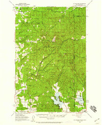
1950 Map of Mt Spokane
USGS Topo · Published 1959About this map
Mt Spokane State Park dominates this mid-century topography, straddling the high ridges where Washington meets Idaho. The 1950 revision shows a landscape transitioning from rural mountain outposts to a recreational hub, evidenced by the Selkirk Ski Club and Spokane Ski Club located near the summit of Mt Spokane. To the west, the valley floor near Peone and the Foothills remains defined by agricultural life, centered around community markers like the Inland Grange and Kit Carson School.
Find a feature on this map
45 named features on this map. Tap any name to fly to it.
Don’t see what you’re looking for? This feature index may not catch every label — zoom into the map to look around manually.
Map Details
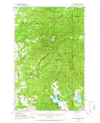
Editions of this 1950 Mt Spokane Map
3 editions found

Other maps of this area

1901 · Sandpoint
USGS Topo · 1:125,000

1901 · Spokane
USGS Topo · 1:125,000

1903 · Rathdrum
USGS Topo · 1:125,000

1911 · Priest Lake
USGS Topo · 1:250,000

1911 · Sandpoint
USGS Topo · 1:125,000

1913 · Priest Lake
USGS Topo · 1:250,000

1936 · Newport
USGS Topo · 1:96,000

1942 · Newport
USGS Topo · 1:125,000

1943 · Mt Spokane
USGS Topo · 1:62,500

1949 · Deer Park
USGS Topo · 1:62,500