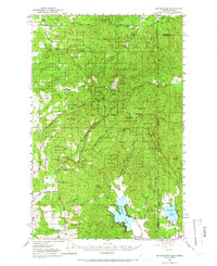
1950 Map of Mt Spokane
USGS Topo · Published 1966About this map
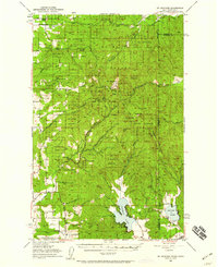
Mt Spokane State Park dominates the landscape of this 1950s survey, spanning the high ridges and peaks of the Selkirk Mountains along the Washington and Idaho border. The terrain is defined by prominent summits such as Mt Carson, Quartz Mtn, and Ragged Mountain, with deep drainages like Deadman Creek and Blanchard Creek carving through the slopes. Toward the south, the landscape transitions from the high parklands to the rural valleys surrounding Newman Lake and Hauser Lake, where early development is clustered along the shores and nearby roads.
Find a feature on this map
35 named features on this map. Tap any name to fly to it.
Don’t see what you’re looking for? This feature index may not catch every label — zoom into the map to look around manually.
Map Details
Editions of this 1950 Mt Spokane Map
3 editions found

Other maps of this area

1901 · Sandpoint
USGS Topo · 1:125,000

1901 · Spokane
USGS Topo · 1:125,000

1903 · Rathdrum
USGS Topo · 1:125,000

1911 · Priest Lake
USGS Topo · 1:250,000

1911 · Sandpoint
USGS Topo · 1:125,000

1913 · Priest Lake
USGS Topo · 1:250,000

1936 · Newport
USGS Topo · 1:96,000

1942 · Newport
USGS Topo · 1:125,000

1943 · Mt Spokane
USGS Topo · 1:62,500

1949 · Deer Park
USGS Topo · 1:62,500