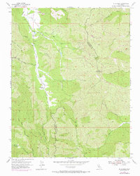
1955 Map of Mt. Stakes
USGS Topo · Published 1972About this map
San Antonio Valley provides the central focus of this 1955 survey, where the San Antonio Road winds through the floor of this remote mountain basin. The landscape is defined by the headwaters of numerous drainages, including San Antonio Creek and Beauregard Creek, which carve deep canyons between prominent peaks like Mt Stakes and Black Mtn. The presence of Shanti Ashram in the Upper San Antonio Valley marks a unique pocket of settlement in an otherwise sparsely populated terrain of ridges and gulches. The boundary between Stanislaus and Santa Clara counties cuts through the eastern portion of the sheet, dividing the watershed between the East Fork Coyote Creek and the North Fork Orestimba Creek. In the southwest, the Grizzly Flats area and the winding Skunk Trail suggest the isolated character of this region before modern development reached these higher elevations.
Find a feature on this map
38 named features on this map. Tap any name to fly to it.
Don’t see what you’re looking for? This feature index may not catch every label — zoom into the map to look around manually.
Map Details
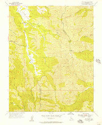
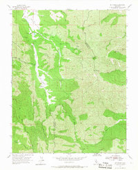
Editions of this 1955 Mt. Stakes Map
3 editions found
Other maps of this area

1897 · Mt. Hamilton
USGS Topo · 1:62,500

1917 · Morgan Hill
USGS Topo · 1:62,500

1921 · Gilroy Hot Springs
USGS Topo · 1:62,500

1938 · Mt. Boardman
USGS Topo · 1:62,500

1939 · Morgan Hill
USGS Topo · 1:62,500

1939 · Gilroy Hot Springs
USGS Topo · 1:62,500

1940 · Gilroy Hot Springs
USGS Topo · 1:62,500

1941 · Morgan Hill
USGS Topo · 1:62,500

1942 · Mt. Hamilton
USGS Topo · 1:62,500

1942 · Mt. Boardman
USGS Topo · 1:62,500