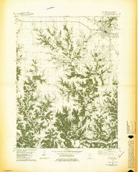
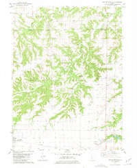
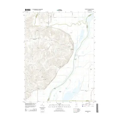
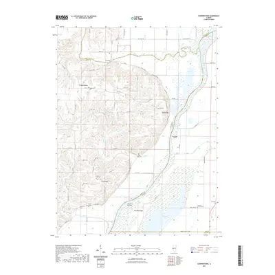
1981 Map of Mt Sterling
USGS Topo · Published 1981About this map
The county seat of Mt Sterling serves as the primary hub of this west-central Illinois landscape, showing a transition from the structured street grid and Fairground to the deeply dissected terrain of the Lee, Mt Sterling, and Buckhorn townships. The map is particularly rich for genealogical research, documenting numerous family-named burial grounds such as Cleaves Cem, Kiefer Cem, and Syphert Cem scattered across the rural uplands.
Find a feature on this map
41 named features on this map. Tap any name to fly to it.
Don’t see what you’re looking for? This feature index may not catch every label — zoom into the map to look around manually.
Map Details
Editions of this 1981 Mt Sterling Map
2 editions found
Historical Maps of Mount Sterling Through Time
15 maps found
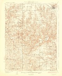
1926 Mt Sterling
Brown County, IL
1929 Mt. Sterling
Brown County, IL
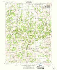
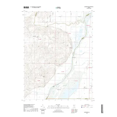
1980 Cooperstown
Brown County, IL
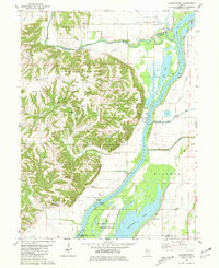
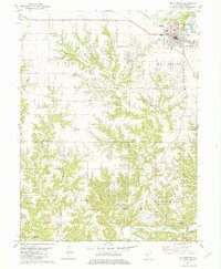
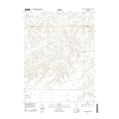
1981 Lake Mt. Sterling
Brown County, IL
1981 Mt Sterling
Brown County, IL
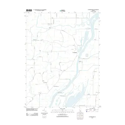
2012 Cooperstown
Brown County, IL
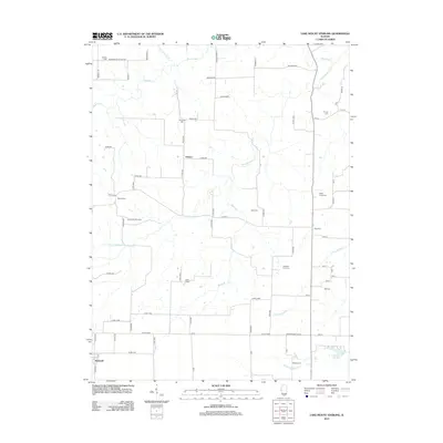
2012 Lake Mount Sterling
Brown County, IL
2015 Cooperstown
Brown County, IL
2015 Lake Mount Sterling
Brown County, IL
2018 Cooperstown
Brown County, IL
2018 Lake Mount Sterling
Brown County, IL
2021 Cooperstown
Brown County, IL

2021 Lake Mount Sterling
Brown County, IL
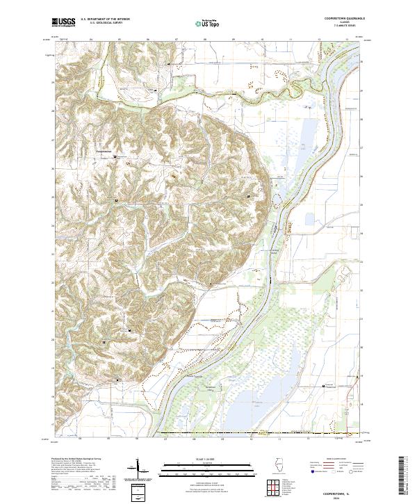
2024 Cooperstown
Brown County, IL
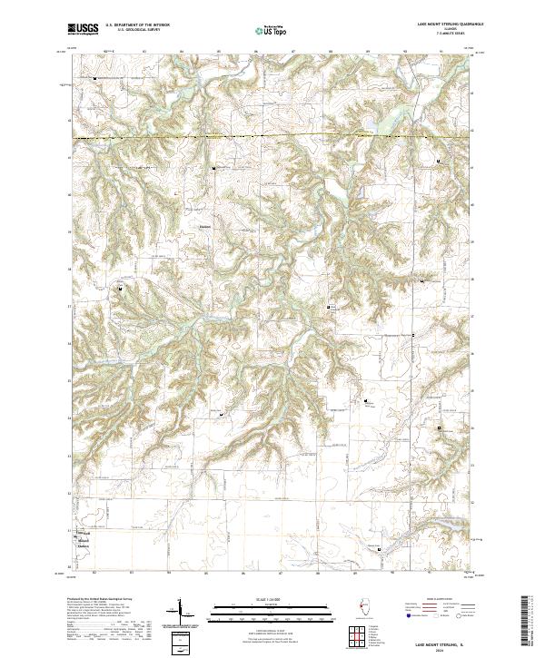
2024 Lake Mount Sterling
Brown County, IL