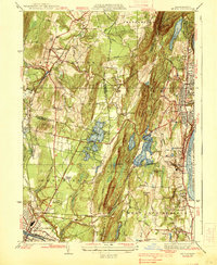
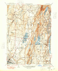
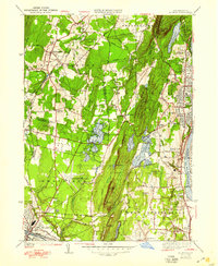
1938 Map of Mt Tom
USGS Topo · Published 1938About this map
Mt Tom Range dominates the landscape of this 1930s survey, a prominent basalt ridge that defines the geography between the Connecticut River and the industrial corridors of the Pioneer Valley. The map captures a sophisticated network of water management and recreation during the interwar era, featuring the Ashley Reservoir system and the popular Mountain Park resort area. Significant transportation infrastructure is evident, from the New York New Haven and Hartford RR to the Barnes Landing Field in Westfield. Genealogists will find value in the detailed locations of neighborhood institutions like the St Marys Cemetery, the Monastery in West Springfield, and small community clusters such as Swanson Corners and Cayenne. The map also illustrates the transition from rural land use to suburban development in areas like Highlands and Oakdale.
Find a feature on this map
67 named features on this map. Tap any name to fly to it.
Don’t see what you’re looking for? This feature index may not catch every label — zoom into the map to look around manually.
Map Details
Editions of this 1938 Mt Tom Map
6 editions found
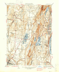
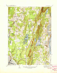
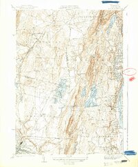
Other maps of this area

1885 · Northampton
USGS Topo · 1:62,500

1886 · Springfield
USGS Topo · 1:62,500

1886 · Chesterfield
USGS Topo · 1:62,500

1886 · Northampton
USGS Topo · 1:62,500

1887 · Granville
USGS Topo · 1:62,500

1888 · Chesterfield
USGS Topo · 1:62,500

1889 · Springfield
USGS Topo · 1:62,500

1889 · Granville
USGS Topo · 1:62,500

1891 · Northampton
USGS Topo · 1:62,500

1893 · Northampton
USGS Topo · 1:62,500