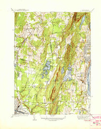
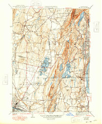
1938 Map of Mt Tom
USGS Topo · Published 1938About this map
Mt Tom Range dominates the vertical center of this landscape, creating a dramatic physical divide between the Manhan River valley in Southampton and the industrial corridors of Holyoke. In the mid-1930s, this area was a complex mix of early aviation at Barnes Landing Field, recreation at Mountain Park, and established religious institutions like the Monastery in West Springfield. The eastern edge of the map follows the winding path of the Connecticut River, where the high density of rail lines, including the Boston and Albany, supported the manufacturing centers of Brightside and Ingleside.
Find a feature on this map
54 named features on this map. Tap any name to fly to it.
Don’t see what you’re looking for? This feature index may not catch every label — zoom into the map to look around manually.
Map Details
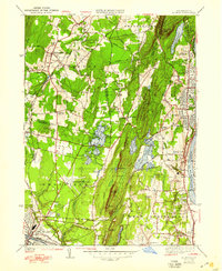
Editions of this 1938 Mt Tom Map
6 editions found
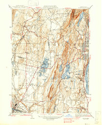
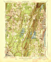
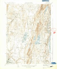
Other maps of this area

1885 · Northampton
USGS Topo · 1:62,500

1886 · Springfield
USGS Topo · 1:62,500

1886 · Chesterfield
USGS Topo · 1:62,500

1886 · Northampton
USGS Topo · 1:62,500

1887 · Granville
USGS Topo · 1:62,500

1888 · Chesterfield
USGS Topo · 1:62,500

1889 · Springfield
USGS Topo · 1:62,500

1889 · Granville
USGS Topo · 1:62,500

1891 · Northampton
USGS Topo · 1:62,500

1893 · Northampton
USGS Topo · 1:62,500