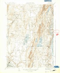
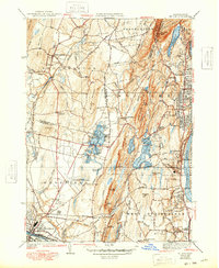
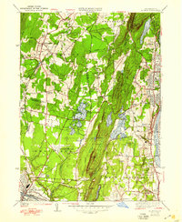
1938 Map of Mt. Tom
USGS Topo · Published 1938About this map
Mt Tom State Reservation and the rising peaks of the Mt Tom Range dominate this landscape, anchoring a complex network of reservoirs and ponds during the late 1930s. The terrain transitions from the steep ridges of Mount Tom and Cedar Knob into a valley marked by significant water management and early aviation infrastructure. Notable is Barnes Landing Field in Westfield, situated near St Marys Cemetery, highlighting the convergence of modern transport and established community landmarks.
Find a feature on this map
92 named features on this map. Tap any name to fly to it.
Don’t see what you’re looking for? This feature index may not catch every label — zoom into the map to look around manually.
Map Details
Editions of this 1938 Mt. Tom Map
6 editions found
Other maps of this area

1885 · Northampton
USGS Topo · 1:62,500

1886 · Springfield
USGS Topo · 1:62,500

1886 · Chesterfield
USGS Topo · 1:62,500

1886 · Northampton
USGS Topo · 1:62,500

1887 · Granville
USGS Topo · 1:62,500

1888 · Chesterfield
USGS Topo · 1:62,500

1889 · Springfield
USGS Topo · 1:62,500

1889 · Granville
USGS Topo · 1:62,500

1891 · Northampton
USGS Topo · 1:62,500

1893 · Northampton
USGS Topo · 1:62,500