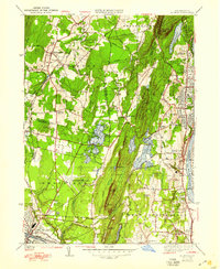
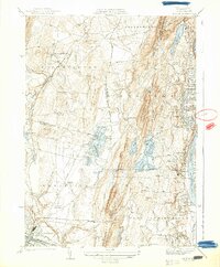
1938 Map of Mt Tom
USGS Topo · Published 1948About this map
The Mt Tom Range and Holyoke Mountain dominate this landscape, creating a dramatic physical divide between the developing valley floors of the late 1930s. To the east, the Connecticut River serves as a primary industrial corridor, lined with infrastructure such as the Jones Ferry Pumping Sta and the New York New Haven and Hartford railroad line. This era captures the transition between early rural settlements and modern regional infrastructure, evidenced by the expansive City of Westfield Barnes Municipal Airport and the West Springfield Airport situated in the southern lowlands. Local history is preserved in named corners and institutions, from Swanson Corners to the Monastery near Amostown. The terrain is pockets of recreation and utility, with the Mt Tom Golf Course and Mountain Park nestled near the reservoir system that includes Ashley Pond and Pequot Pond.
Find a feature on this map
78 named features on this map. Tap any name to fly to it.
Don’t see what you’re looking for? This feature index may not catch every label — zoom into the map to look around manually.
Map Details
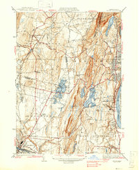
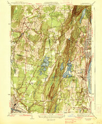
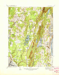
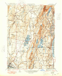
Editions of this 1938 Mt Tom Map
6 editions found
Other maps of this area

1885 · Northampton
USGS Topo · 1:62,500

1886 · Springfield
USGS Topo · 1:62,500

1886 · Chesterfield
USGS Topo · 1:62,500

1886 · Northampton
USGS Topo · 1:62,500

1887 · Granville
USGS Topo · 1:62,500

1888 · Chesterfield
USGS Topo · 1:62,500

1889 · Springfield
USGS Topo · 1:62,500

1889 · Granville
USGS Topo · 1:62,500

1891 · Northampton
USGS Topo · 1:62,500

1893 · Northampton
USGS Topo · 1:62,500