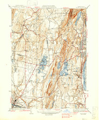
1938 Map of Mt Tom
USGS Topo · Published 1938About this map
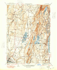
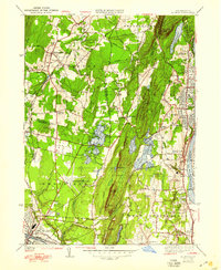
Mt Tom Range and East Mountain form a dramatic basaltic spine that separates the industrial growth of Holyoke and Westfield in this mid-1930s landscape. The Connecticut River valley's development is evident in the dense street grids of Elmwood, Oakdale, and Highlands, which contrast with the open fields of Southampton and Amostown. This era of transportation transition is captured through the prominence of the New York New Haven and Hartford Railroad alongside early regional aviation at Barnes Landing Field.
Find a feature on this map
76 named features on this map. Tap any name to fly to it.
Don’t see what you’re looking for? This feature index may not catch every label — zoom into the map to look around manually.
Map Details
Editions of this 1938 Mt Tom Map
6 editions found
Other maps of this area

1885 · Northampton
USGS Topo · 1:62,500

1886 · Springfield
USGS Topo · 1:62,500

1886 · Chesterfield
USGS Topo · 1:62,500

1886 · Northampton
USGS Topo · 1:62,500

1887 · Granville
USGS Topo · 1:62,500

1888 · Chesterfield
USGS Topo · 1:62,500

1889 · Springfield
USGS Topo · 1:62,500

1889 · Granville
USGS Topo · 1:62,500

1891 · Northampton
USGS Topo · 1:62,500

1893 · Northampton
USGS Topo · 1:62,500