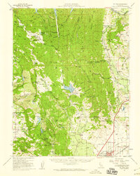
1951 Map of Mt. Vaca
USGS Topo · Published 1959About this map
Lake Berryessa and the rugged eastern slopes of the Coast Range dominate this mid-century survey of Solano and Napa counties. The landscape transitions from the high peaks of Blue Ridge and Mt Vaca down into the fertile agricultural stretches of Pleasants Valley and Vaca Valley. At the foot of these hills, the growing centers of Fairfield and Vacaville are shown just as postwar development began to accelerate, with the Southern Pacific and Sacramento Northern railroads providing vital transportation links for the region's ranching and farming economy.
Find a feature on this map
98 named features on this map. Tap any name to fly to it.
Don’t see what you’re looking for? This feature index may not catch every label — zoom into the map to look around manually.
Map Details
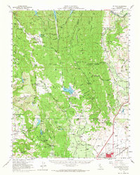
Editions of this 1951 Mt. Vaca Map
2 editions found
Other maps of this area

1896 · Carquinez Strait
USGS Topo · 1:62,500

1898 · Karquines
USGS Topo · 1:62,500

1901 · Karquines
USGS Topo · 1:62,500

1902 · Napa
USGS Topo · 1:125,000

1907 · Woodland
USGS Topo · 1:62,500

1907 · Antioch
USGS Topo · 1:62,500

1908 · Vacaville
USGS Topo · 1:62,500

1908 · Antioch
USGS Topo · 1:62,500

1916 · Mare Island
USGS Topo · 1:62,500

1916 · Winters
USGS Topo · 1:31,680