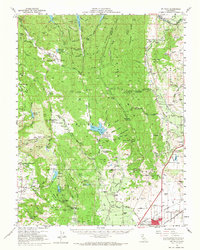
1951 Map of Mt. Vaca
USGS Topo · Published 1967About this map
Vacaville and Fairfield anchor the eastern and southern edges of this 1951 landscape, serving as gateways to the complex system of valleys and ridges between Napa and Solano counties. The eastern slopes of the English Hills descend into the Vaca Valley, where the Peña House (Historic Site) stands as a landmark of the region's ranching heritage. This era shows a rural network of schoolhouses like the Rhine Sch and Oakdale Sch, and agrarian hubs such as Mankas Corner and the Chimiles Farm Center.
Find a feature on this map
105 named features on this map. Tap any name to fly to it.
Don’t see what you’re looking for? This feature index may not catch every label — zoom into the map to look around manually.
Map Details
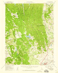
Editions of this 1951 Mt. Vaca Map
2 editions found
Other maps of this area

1896 · Carquinez Strait
USGS Topo · 1:62,500

1898 · Karquines
USGS Topo · 1:62,500

1901 · Karquines
USGS Topo · 1:62,500

1902 · Napa
USGS Topo · 1:125,000

1907 · Woodland
USGS Topo · 1:62,500

1907 · Antioch
USGS Topo · 1:62,500

1908 · Vacaville
USGS Topo · 1:62,500

1908 · Antioch
USGS Topo · 1:62,500

1916 · Mare Island
USGS Topo · 1:62,500

1916 · Winters
USGS Topo · 1:31,680