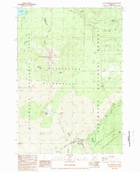
1988 Map of Mt. Washington
USGS Topo · Published 1988About this map
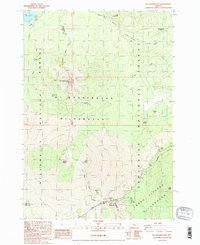
The high Cascade crest dominates this landscape at the junction of the Willamette National Forest and Deschutes National Forest. Central to the area is the volcanic massif of Mt Washington, surrounded by the extensive lava flows of the Mt Washington Wilderness. To the south, the dramatic geologic history of the region is evident in the Belknap Crater and Little Belknap Crater formations, which spill across the terrain toward McKenzie Pass.
Find a feature on this map
29 named features on this map. Tap any name to fly to it.
Don’t see what you’re looking for? This feature index may not catch every label — zoom into the map to look around manually.
Map Details
Editions of this 1988 Mt. Washington Map
2 editions found
Other maps of this area

1929 · Three Sisters
USGS Topo · 1:125,000

1932 · Three Sisters
USGS Topo · 1:125,000

1955 · Bend
USGS Topo · 1:250,000

1957 · Bend
USGS Topo · 1:250,000

1958 · Bend
USGS Topo · 1:250,000

1959 · Broken Top
USGS Topo · 1:62,500
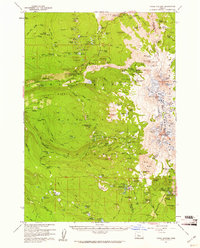
1959 · Three Sisters
USGS Topo · 1:62,500

1959 · Three Fingered Jack
USGS Topo · 1:62,500

1959 · Sisters
USGS Topo · 1:62,500
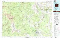
1980 · Bend
USGS Topo · 1:100,000