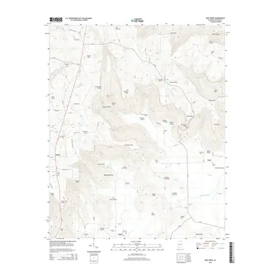
2014 Map of Mud Creek
USGS Topo · Published 2014About this map
Skyline and the broader Jackson County landscape appear here in the early 21st century, defined by the striking topography of the Cumberland Plateau. The transition from the high plateau down into the fertile lowlands of Maynard Cove is marked by steep hollows and named points like Cornelison Point and Gizzard Point. These coves historically provided the most viable ground for agriculture and settlement, leading to a high concentration of family and community burial grounds such as Maynard Cove Cem, Proctor Cem, and Sanders Cem.
Find a feature on this map
107 named features on this map. Tap any name to fly to it.
Don’t see what you’re looking for? This feature index may not catch every label — zoom into the map to look around manually.
Map Details
Editions of this 2014 Mud Creek Map
This is the sole edition of this map. No revisions or reprints were ever made.
Other maps of this area

1886 · Stevenson
USGS Topo · 1:125,000

1888 · Scottsboro
USGS Topo · 1:125,000

1892 · Scottsboro
USGS Topo · 1:125,000

1892 · Stevenson
USGS Topo · 1:125,000

1895 · Stevenson
USGS Topo · 1:125,000

1936 · Scottsboro
USGS Topo · 1:24,000

1936 · Wannville
USGS Topo · 1:24,000

1936 · Mud Creek
USGS Topo · 1:24,000

1936 · Hytop
USGS Topo · 1:24,000

1936 · Princeton
USGS Topo · 1:24,000