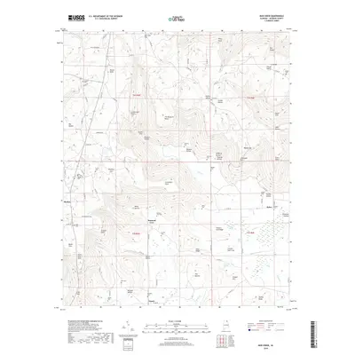
2018 Map of Mud Creek
USGS Topo · Published 2018About this map
Skyline and the high elevations of the Cumberland Plateau dominate this 2018 survey of Jackson County. The landscape is defined by its dramatic relief, where the plateau surface breaks into deep drainage systems like Peacock Hollow and Slipoff Hollow. Small valley settlements such as Maynard Cove and Tupelo are tucked between prominent overlooks like The Buzzard Roost and Cornelison Point. This topography heavily influenced the historical placement of local cemeteries and homesteads, many of which are located along the lower ridges or at the base of gaps such as Moody Gap.
Find a feature on this map
112 named features on this map. Tap any name to fly to it.
Don’t see what you’re looking for? This feature index may not catch every label — zoom into the map to look around manually.
Map Details
Editions of this 2018 Mud Creek Map
This is the sole edition of this map. No revisions or reprints were ever made.
Other maps of this area

1886 · Stevenson
USGS Topo · 1:125,000

1888 · Scottsboro
USGS Topo · 1:125,000

1892 · Scottsboro
USGS Topo · 1:125,000

1892 · Stevenson
USGS Topo · 1:125,000

1895 · Stevenson
USGS Topo · 1:125,000

1936 · Scottsboro
USGS Topo · 1:24,000

1936 · Wannville
USGS Topo · 1:24,000

1936 · Mud Creek
USGS Topo · 1:24,000

1936 · Hytop
USGS Topo · 1:24,000

1936 · Princeton
USGS Topo · 1:24,000