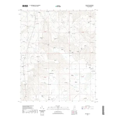
2020 Map of Mud Creek
USGS Topo · Published 2020About this map
Cumberland Plateau terrain dominates this Jackson County landscape, where the high ridges of Crow Mtn overlook a complex network of coves and hollows. The settlement pattern is defined by small communities such as Skyline, Hytop, and Tupelo, connected by a web of county roads that navigate the sharp elevation changes between the plateau and Maynard Cove.
Find a feature on this map
114 named features on this map. Tap any name to fly to it.
Don’t see what you’re looking for? This feature index may not catch every label — zoom into the map to look around manually.
Map Details
Editions of this 2020 Mud Creek Map
This is the sole edition of this map. No revisions or reprints were ever made.
Other maps of this area

1886 · Stevenson
USGS Topo · 1:125,000

1888 · Scottsboro
USGS Topo · 1:125,000

1892 · Scottsboro
USGS Topo · 1:125,000

1892 · Stevenson
USGS Topo · 1:125,000

1895 · Stevenson
USGS Topo · 1:125,000

1936 · Scottsboro
USGS Topo · 1:24,000

1936 · Wannville
USGS Topo · 1:24,000

1936 · Mud Creek
USGS Topo · 1:24,000

1936 · Hytop
USGS Topo · 1:24,000

1936 · Princeton
USGS Topo · 1:24,000