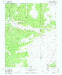
1979 Map of Mud Creek
USGS Topo · Published 1980About this map
Yucca House Nat Mon anchor the southern edge of this landscape, preserving an ancient settlement site within the Montezuma Valley. Large portions of the terrain are defined by the Ute Mountain Indian Reservation, where the topography shifts from the flats of the valley floor to the high ground of Aztec Divide. The map details the drainage systems of McElmo Creek and Mud Creek, showing how these watercourses have carved out deep recesses such as McElmo Canyon and Goodman Canyon. Local history is noted at the Majors Cem and Mud Spring, while 20th-century developments like the County Airport and several Gravel Pits indicate the modern economic use of the valley. A network of primitive ways, including a Jeep Trail in the northern mesas, highlights the remote nature of the canyons.
Find a feature on this map
21 named features on this map. Tap any name to fly to it.
Don’t see what you’re looking for? This feature index may not catch every label — zoom into the map to look around manually.
Map Details
Editions of this 1979 Mud Creek Map
2 editions found
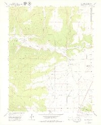
Other maps of this area

1956 · Cortez
USGS Topo · 1:250,000

1957 · Moqui SE
USGS Topo · 1:24,000

1958 · Cortez SW
USGS Topo · 1:24,000

1958 · Sentinel Peak NE
USGS Topo · 1:24,000

1958 · Cortez
USGS Topo · 1:250,000

1959 · Cortez
USGS Topo · 1:250,000

1962 · Cortez
USGS Topo · 1:250,000

1965 · Woods Canyon
USGS Topo · 1:24,000

1965 · Cortez
USGS Topo · 1:24,000

1965 · Dolores West
USGS Topo · 1:24,000