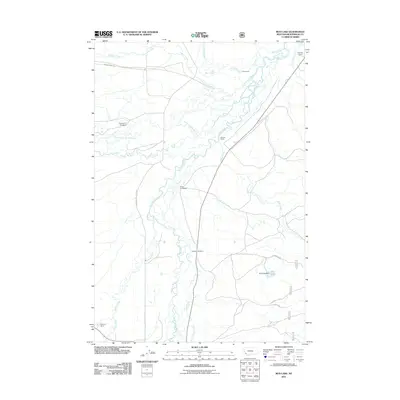
2011 Map of Mud Lake
USGS Topo · Published 2011About this map
The Big Hole River and its intricate network of tributaries dominate this Montana landscape, where the North Fork Big Hole River meanders through broad valleys toward the Mud Lake basin. This 2011 survey documents a ranching and homesteading geography characterized by large family holdings and water management structures like the Mud Lake Dam. Local history is anchored by names such as the Mussigbrod Homestead, Daniels Ranch, and Spokane Ranch, reflecting the enduring legacy of early settlers in Beaverhead County. The central Wisdom Cemetery serves as a significant genealogical landmark, while the road network, including the Mussigbrod Rd and several Forest Service routes, traces the movement of residents and laborers between the riverbanks and the surrounding uplands. The terrain is defined by the convergence of many watercourses, including Steel Creek, McVey Creek, and Howell Creek.
Find a feature on this map
22 named features on this map. Tap any name to fly to it.
Don’t see what you’re looking for? This feature index may not catch every label — zoom into the map to look around manually.
Map Details
Editions of this 2011 Mud Lake Map
This is the sole edition of this map. No revisions or reprints were ever made.
Other maps of this area

1955 · Dillon
USGS Topo · 1:250,000

1957 · Dillon
USGS Topo · 1:250,000

1958 · Dillon
USGS Topo · 1:250,000

1962 · Dillon
USGS Topo · 1:250,000

1962 · Wisdom
USGS Topo · 1:24,000

1962 · Mud Lake
USGS Topo · 1:24,000

1962 · Pine Hill
USGS Topo · 1:24,000

1962 · Stewart Mountain
USGS Topo · 1:24,000

1962 · Pintlar Lake
USGS Topo · 1:24,000

1962 · Proposal Rock
USGS Topo · 1:24,000