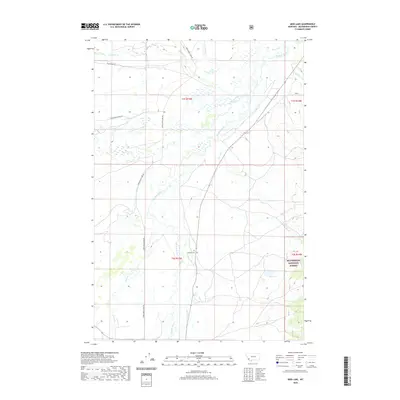
2020 Map of Mud Lake
USGS Topo · Published 2020About this map
The Big Hole River dominates this Beaverhead County landscape, carving a wide, braided path through the valley floor. Its complex hydrology is further defined by the North Fork Big Hole River and a network of mountain tributaries including Plimpton Cr and McVey Cr. This area represents a critical intersection of agricultural valley land and protected wilderness, with the eastern boundary transitioning into the Beaverhead National Forest.
Find a feature on this map
21 named features on this map. Tap any name to fly to it.
Don’t see what you’re looking for? This feature index may not catch every label — zoom into the map to look around manually.
Map Details
Editions of this 2020 Mud Lake Map
This is the sole edition of this map. No revisions or reprints were ever made.
Other maps of this area

1955 · Dillon
USGS Topo · 1:250,000

1957 · Dillon
USGS Topo · 1:250,000

1958 · Dillon
USGS Topo · 1:250,000

1962 · Dillon
USGS Topo · 1:250,000

1962 · Wisdom
USGS Topo · 1:24,000

1962 · Mud Lake
USGS Topo · 1:24,000

1962 · Pine Hill
USGS Topo · 1:24,000

1962 · Stewart Mountain
USGS Topo · 1:24,000

1962 · Pintlar Lake
USGS Topo · 1:24,000

1962 · Proposal Rock
USGS Topo · 1:24,000