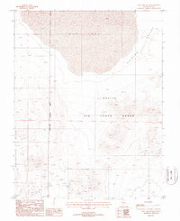
1987 Map of Mud Lake South
USGS Topo · Published 1988About this map
Mud Lake dominates the northern landscape of this Nye County quadrangle, situated within the vast Ralston Valley during the late 1980s. The southern half of the map transition into the Goldfield Hills, a region heavily scarred by mineral exploration and extraction. A high density of Mine Shafts, an Adit, and numerous Prospects are recorded across these slopes, providing a detailed spatial inventory of mining activity in this arid corner of Nevada.
Find a feature on this map
14 named features on this map. Tap any name to fly to it.
Don’t see what you’re looking for? This feature index may not catch every label — zoom into the map to look around manually.
Map Details
Editions of this 1987 Mud Lake South Map
This is the sole edition of this map. No revisions or reprints were ever made.
Other maps of this area

1908 · Kawich
USGS Topo · 1:250,000

1908 · Lida
USGS Topo · 1:250,000

1913 · Lida
USGS Topo · 1:250,000

1942 · Cactus Range
USGS Topo · 1:125,000

1945 · Goldfield
USGS Topo · 1:125,000

1952 · Cactus Spring
USGS Topo · 1:62,500

1952 · Mud Lake
USGS Topo · 1:62,500

1952 · Goldfield
USGS Topo · 1:62,500

1952 · Cactus Peak
USGS Topo · 1:62,500

1954 · Goldfield
USGS Topo · 1:250,000