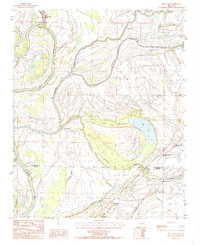
1984 Map of Mud Lake
USGS Topo · Published 1985About this map
The St Francis River defines the western reaches of this landscape, meandering past Lakeside and the prominent Council Bar. This 1984 survey reveals an intricate network of waterways characteristic of the Arkansas Delta, where the Blackfish Bayou and Fifteenmile Bayou converge amidst a patchwork of low-lying terrain. The map captures small rural hubs and settlements like Rawlinson, Shannondale, and Kokomo, many of which are linked by unimproved roads and light-duty tracks.
Find a feature on this map
24 named features on this map. Tap any name to fly to it.
Don’t see what you’re looking for? This feature index may not catch every label — zoom into the map to look around manually.
Map Details
Editions of this 1984 Mud Lake Map
2 editions found
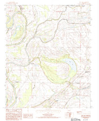
Other maps of this area

1931 · Horseshoe Lake
USGS Topo · 1:62,500

1939 · Horseshoe Lake
USGS Topo · 1:62,500

1939 · Park Place
USGS Topo · 1:62,500

1939 · Edmondson
USGS Topo · 1:62,500

1940 · Whitmore
USGS Topo · 1:62,500

1948 · Helena
USGS Topo · 1:250,000

1950 · Helena
USGS Topo · 1:250,000

1953 · Memphis
USGS Topo · 1:250,000

1954 · Horseshoe Lake
USGS Topo · 1:62,500

1954 · Edmondson
USGS Topo · 1:62,500