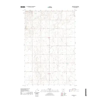
2020 Map of Mud Spring
USGS Topo · Published 2020About this map
Mud Spring and the upland plateau of Douglas County define this part of central Washington. The landscape is characterized by a high-desert terrain where vital water sources like Marion Hill Spring and Willow Spring break the dry expanses. The map reveals a structured grid of agricultural and access roads, including Wolf Holler Rd and Mc Neil Canyon Rd NW, which traverse the high ground near Boulder Park. This area, organized under t27n r24e and t26n r24e of the Public Land Survey System, shows how modern land management overlays the natural drainage of W Foster Cr. The concentration of named springs suggests the historical importance of these specific locations for ranching and survival in an otherwise arid environment.
Find a feature on this map
30 named features on this map. Tap any name to fly to it.
Don’t see what you’re looking for? This feature index may not catch every label — zoom into the map to look around manually.
Map Details
Editions of this 2020 Mud Spring Map
This is the sole edition of this map. No revisions or reprints were ever made.
Other maps of this area

1953 · Ritzville
USGS Topo · 1:250,000

1959 · Ritzville
USGS Topo · 1:250,000

1965 · Ritzville
USGS Topo · 1:250,000

1965 · Jameson Lake West
USGS Topo · 1:24,000

1968 · Withrow
USGS Topo · 1:24,000

1968 · Lamoine
USGS Topo · 1:24,000

1968 · Chelan Falls
USGS Topo · 1:24,000

1968 · Chief Joseph Dam
USGS Topo · 1:24,000

1968 · Wells Dam
USGS Topo · 1:24,000
1968 · Azwell
USGS Topo · 1:24,000