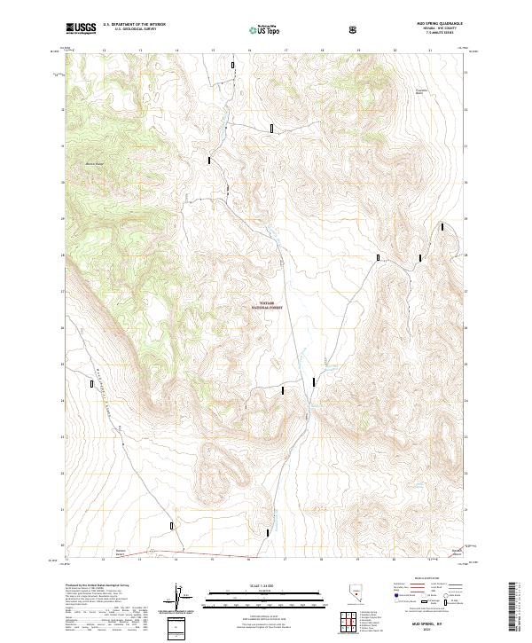
2021 Map of Mud Spring
USGS Topo · Published 2021About this map
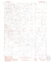
Toiyabe National Forest encompasses the high-elevation terrain of this Nye County landscape, where the southern reaches of the Monitor Range meet the arid expanse of the Ralston Desert. The map reveals a delicate network of desert hydrology, dominated by the long drainage of Saulsbury Wash as it flows south toward the desert floor. Water sources are critical landmarks in this environment, with Mud Spring, Upper Mud Spring, and Freitas Spring appearing as vital points of interest for historical land use and livestock. To the northeast, the terrain opens into Fourmile Basin, while the western edge is defined by the deep cut of Woodchopper Canyon. This survey provides a modern look at a classic Great Basin landscape, illustrating the topographical isolation and the specific points where water emerges from the dry mountain flanks.
Find a feature on this map
17 named features on this map. Tap any name to fly to it.
Don’t see what you’re looking for? This feature index may not catch every label — zoom into the map to look around manually.
Map Details
Editions of this 2021 Mud Spring Map
This is the sole edition of this map. No revisions or reprints were ever made.
Other maps of this area

1956 · Tonopah
USGS Topo · 1:250,000

1959 · Tonopah
USGS Topo · 1:250,000

1962 · Tonopah
USGS Topo · 1:250,000

1971 · Antelope Spring
USGS Topo · 1:24,000
1971 · Georges Canyon Rim
USGS Topo · 1:24,000

1971 · Saulsbury Basin
USGS Topo · 1:24,000

1986 · Stone Cabin Ranch
USGS Topo · 1:24,000
1986 · Mud Spring
USGS Topo · 1:24,000
1986 · Hannapah
USGS Topo · 1:24,000
1986 · Stone Cabin Ranch SW
USGS Topo · 1:24,000