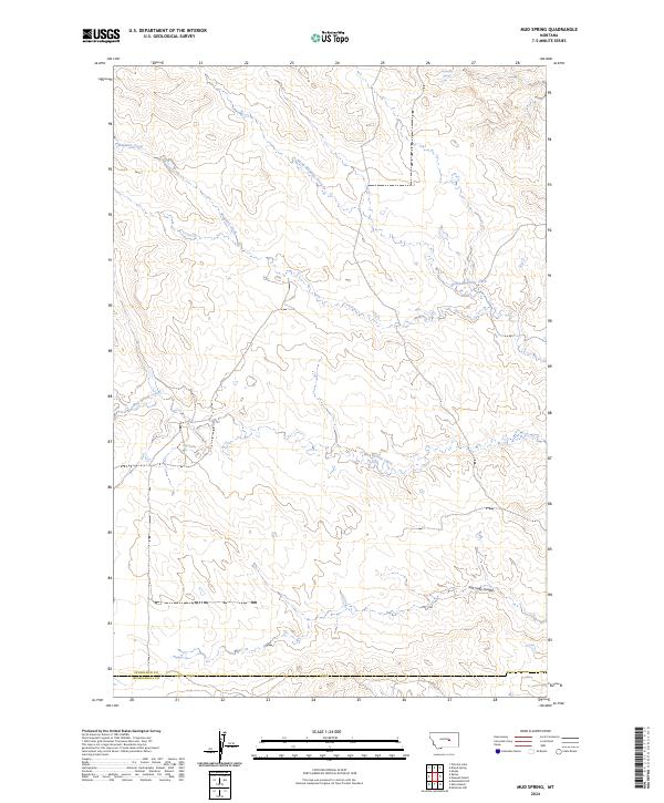
2024 Map of Mud Spring
USGS Topo · Published 2024About this map
Maginnis Creek and its northern branch flow through this sparsely developed section of Petroleum County, where the landscape is defined by intermittent water sources and dramatic topographic shifts. The presence of Circle Bar Spring in the northern reaches and Mud Spring further south highlights the critical importance of these isolated watering points in a region otherwise dominated by drainages like Mud Springs Creek. As the terrain drops toward the Salt Sage Coulee, the map reveals a remote pastoral environment structured by the Public Land Survey System, with township and range lines marking the transition from the Petroleum and Musselshell county boundary. This 2024 data provides a clear record of the modern rural infrastructure and water features that continue to dictate the utility of this Montana landscape.
Find a feature on this map
13 named features on this map. Tap any name to fly to it.
Don’t see what you’re looking for? This feature index may not catch every label — zoom into the map to look around manually.
Map Details
Editions of this 2024 Mud Spring Map
This is the sole edition of this map. No revisions or reprints were ever made.
Other maps of this area

1954 · Forsyth
USGS Topo · 1:250,000

1954 · Roundup
USGS Topo · 1:250,000

1957 · Forsyth
USGS Topo · 1:250,000

1958 · Roundup
USGS Topo · 1:250,000

1958 · Forsyth
USGS Topo · 1:250,000

1962 · Mosby
USGS Topo · 1:24,000

1962 · Maxwell Ranch
USGS Topo · 1:24,000

1962 · Melstone NW
USGS Topo · 1:24,000

1963 · Kelley
USGS Topo · 1:24,000

1963 · Petrolia Lake
USGS Topo · 1:24,000