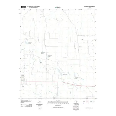
2010 Map of Muenster East
USGS Topo · Published 2010About this map
The community of Muenster serves as the western anchor of this landscape, where the grid of town streets transitions into the sprawling agricultural reaches of Cooke County. A prominent geographic feature, Wolf Ridge, extends across the northern section, influencing the drainage patterns of several waterways including Dry Elm Creek and Squirrel Creek. The map documents a highly managed hydrological environment, marked by numerous water management structures such as Soil Conservation Service Site 7a Dam and Soil Conservation Service Site 7f Dam, which dot the local creek beds.
Find a feature on this map
42 named features on this map. Tap any name to fly to it.
Don’t see what you’re looking for? This feature index may not catch every label — zoom into the map to look around manually.
Map Details
Editions of this 2010 Muenster East Map
This is the sole edition of this map. No revisions or reprints were ever made.
Other maps of this area

1902 · Gainesville
USGS Topo · 1:125,000

1943 · Gainesville
USGS Topo · 1:125,000

1954 · Sherman
USGS Topo · 1:250,000

1958 · Sherman
USGS Topo · 1:250,000

1960 · Gainesville South
USGS Topo · 1:24,000

1960 · Gainesville North
USGS Topo · 1:24,000

1961 · Muenster West
USGS Topo · 1:24,000

1961 · Freemound
USGS Topo · 1:24,000

1961 · Hood
USGS Topo · 1:24,000

1961 · Muenster East
USGS Topo · 1:24,000