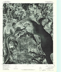
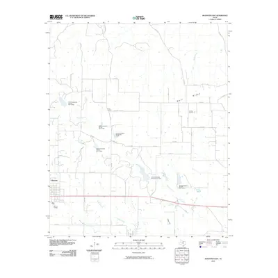
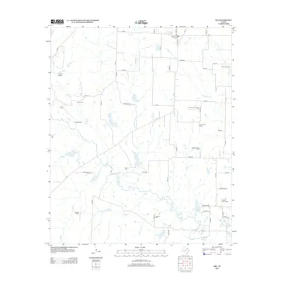
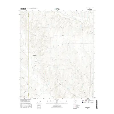
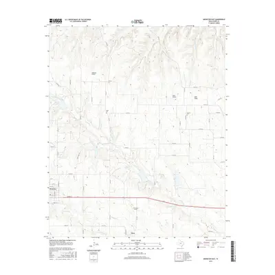
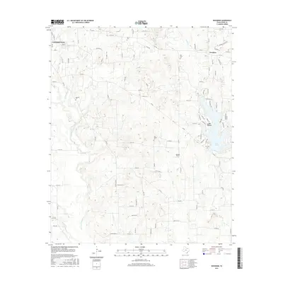
1961 Map of Muenster West
USGS Topo · Published 1978About this map
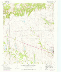
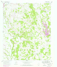
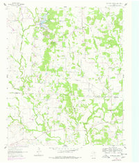
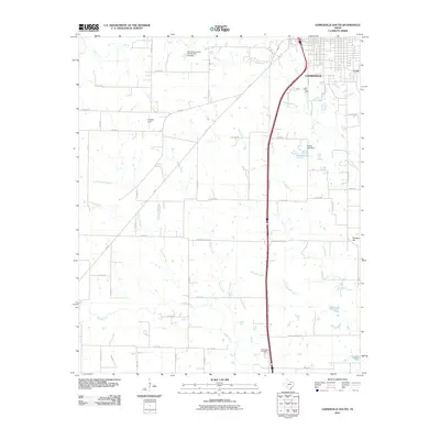
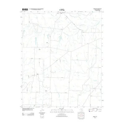
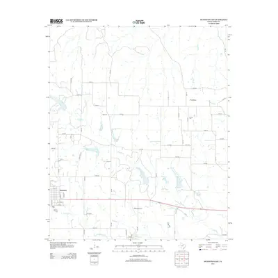
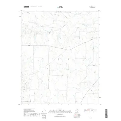
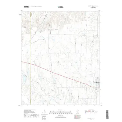
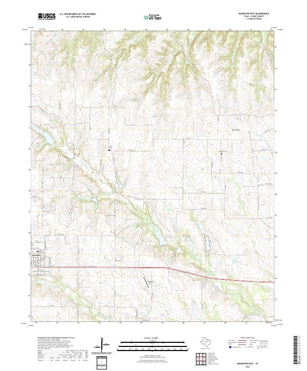
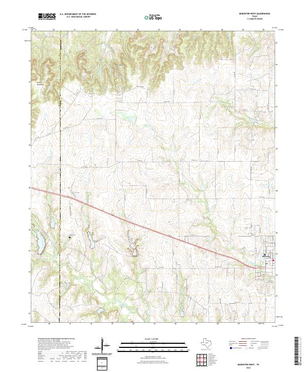
Muenster serves as the eastern focal point of this North Texas survey, situated just north of the Elm Fork Trinity River. The landscape is defined by the significant elevation changes of Tyler Bluff and the prominent Devils Backbone ridge, which separate the northern drainage of South Fish Creek from the southern tributaries. Industrial activity is visible through the Voth Oil Field and a Gravel Pit, while transportation history is preserved in the trace of an Old Railroad Grade that cuts across the central terrain. The county boundary between Montague and Cooke County is clearly delineated, crossing through rural ranch land and numerous seasonal watercourses like Copeland Creek and Gibbons Branch. Numerous small oil wells and spillways suggest a region deeply involved in local energy production and water management during the early 1960s.
Find a feature on this map
18 named features on this map. Tap any name to fly to it.
Don’t see what you’re looking for? This feature index may not catch every label — zoom into the map to look around manually.
Map Details
Editions of this 1961 Muenster West Map
2 editions found
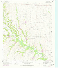
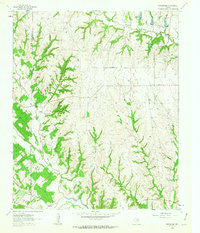
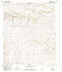
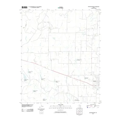
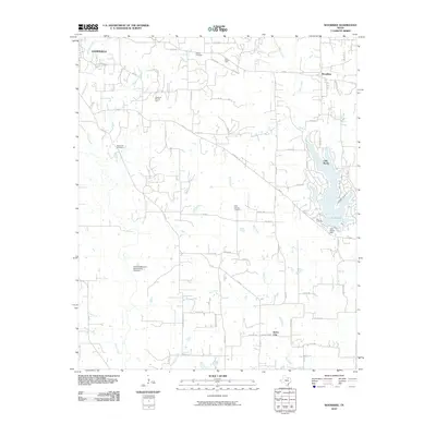
Historical Maps of Muenster Through Time
67 maps found
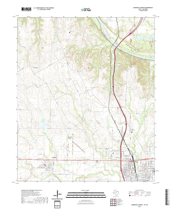
1960 Gainesville North
Cooke County, TX
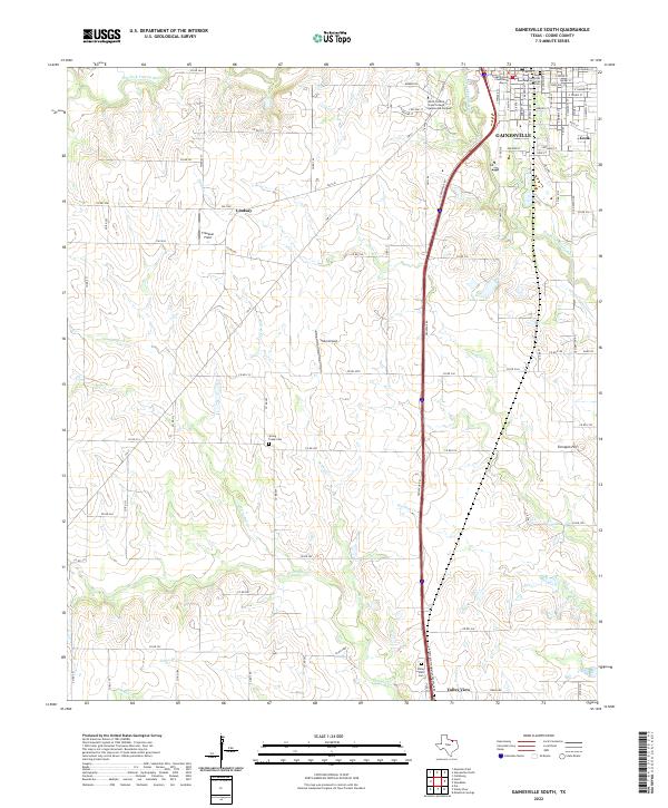
1960 Gainesville South
Cooke County, TX
1960 Woodbine
Cooke County, TX
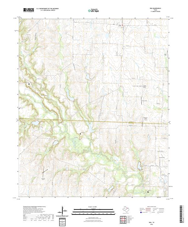
1961 Era
Cooke County, TX
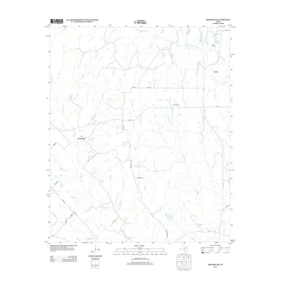
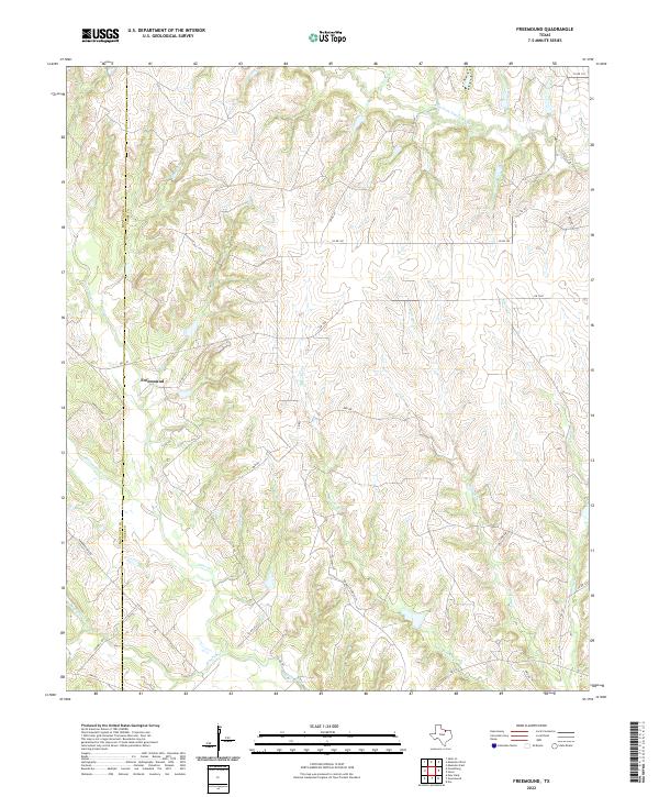
1961 Freemound
Cooke County, TX
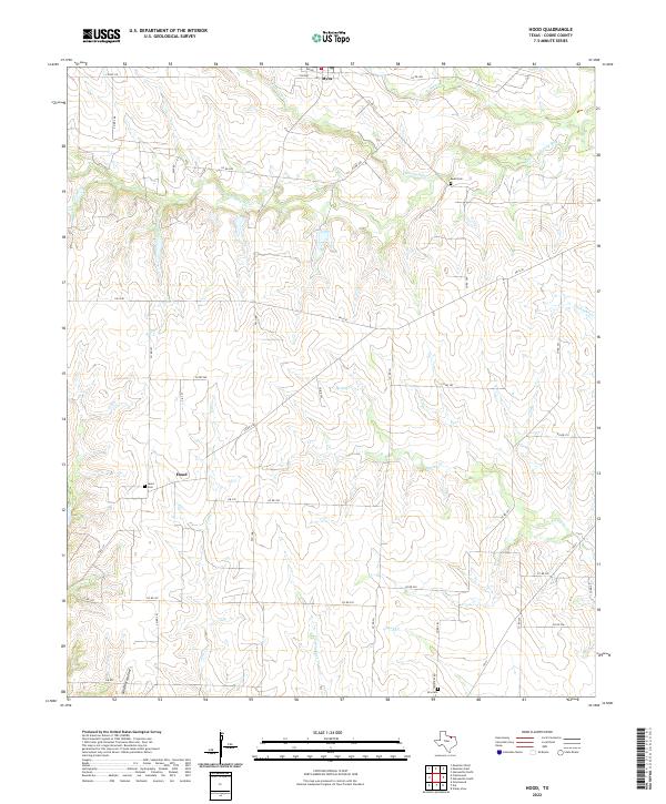
1961 Hood
Cooke County, TX
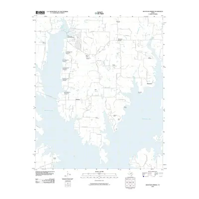
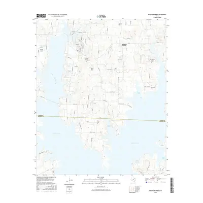
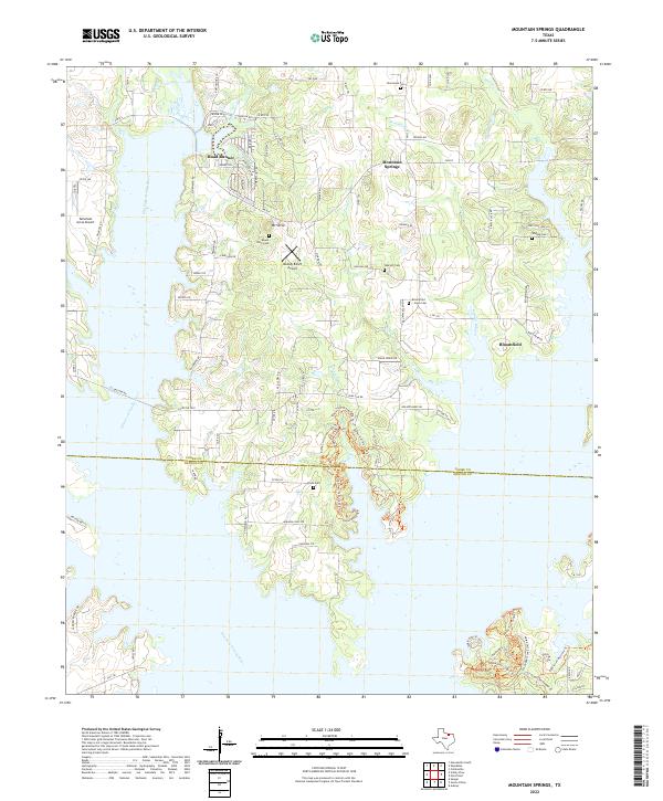
1961 Mountain Springs
Cooke County, TX
1961 Muenster East
Cooke County, TX
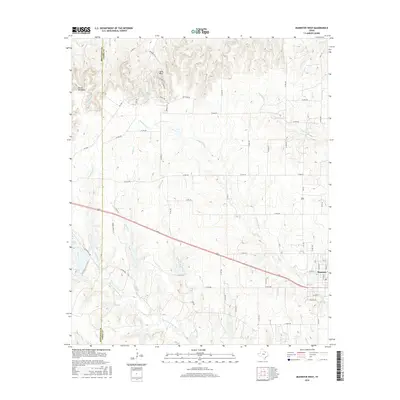
1961 Muenster West
Cooke County, TX
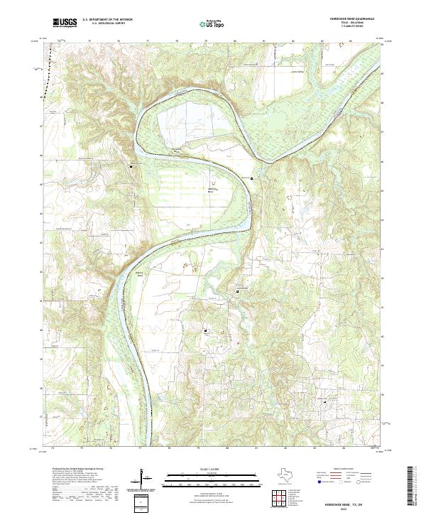
1968 Horseshoe Bend
Cooke County, TX
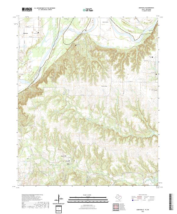
1968 Marysville
Cooke County, TX
1976 Gordonville NW
Cooke County, TX
2010 Era
Cooke County, TX
2010 Freemound
Cooke County, TX
2010 Gainesville North
Cooke County, TX
2010 Gainesville South
Cooke County, TX
2010 Hood
Cooke County, TX
2010 Horseshoe Bend
Cooke County, TX
2010 Marysville
Cooke County, TX
2010 Mountain Springs
Cooke County, TX
2010 Muenster East
Cooke County, TX
2010 Muenster West
Cooke County, TX
2010 Woodbine
Cooke County, TX
2013 Era
Cooke County, TX
2013 Freemound
Cooke County, TX
2013 Gainesville North
Cooke County, TX
2013 Gainesville South
Cooke County, TX
2013 Hood
Cooke County, TX
2013 Horseshoe Bend
Cooke County, TX
2013 Marysville
Cooke County, TX
2013 Mountain Springs
Cooke County, TX
2013 Muenster East
Cooke County, TX
2013 Muenster West
Cooke County, TX
2013 Woodbine
Cooke County, TX
2016 Era
Cooke County, TX
2016 Freemound
Cooke County, TX
2016 Gainesville North
Cooke County, TX
2016 Gainesville South
Cooke County, TX
2016 Hood
Cooke County, TX

2016 Horseshoe Bend
Cooke County, TX
2016 Marysville
Cooke County, TX
2016 Mountain Springs
Cooke County, TX
2016 Muenster East
Cooke County, TX
2016 Muenster West
Cooke County, TX
2016 Woodbine
Cooke County, TX
2019 Era
Cooke County, TX
2019 Freemound
Cooke County, TX
2019 Gainesville North
Cooke County, TX
2019 Gainesville South
Cooke County, TX
2019 Hood
Cooke County, TX
2019 Horseshoe Bend
Cooke County, TX
2019 Marysville
Cooke County, TX
2019 Mountain Springs
Cooke County, TX
2019 Muenster East
Cooke County, TX
2019 Muenster West
Cooke County, TX
2019 Woodbine
Cooke County, TX
2022 Era
Cooke County, TX
2022 Freemound
Cooke County, TX
2022 Gainesville North
Cooke County, TX
2022 Gainesville South
Cooke County, TX
2022 Hood
Cooke County, TX
2022 Horseshoe Bend
Cooke County, TX
2022 Marysville
Cooke County, TX
2022 Mountain Springs
Cooke County, TX
2022 Muenster East
Cooke County, TX
2022 Muenster West
Cooke County, TX
2022 Woodbine
Cooke County, TX