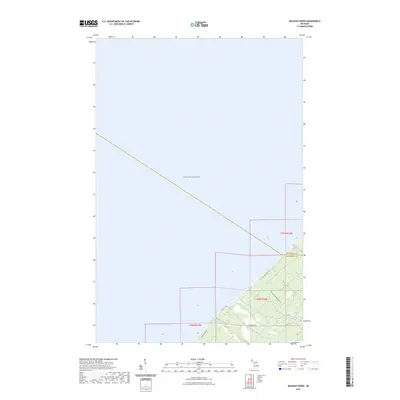
2023 Map of Muggun Creek
USGS Topo · Published 2023About this map
Lake Superior dominates the northern and western reaches of this coastal quadrangle, where the waters meet the rugged edge of Michigan's Upper Peninsula. The shoreline is defined by the convergence of Keweenaw Co and Houghton Co, a boundary marked near the mouth of Brewery Creek. Moving inland, the landscape rises from the lake through a series of wooded drainages including Muggun Creek and Gardeners Creek.
Find a feature on this map
13 named features on this map. Tap any name to fly to it.
Don’t see what you’re looking for? This feature index may not catch every label — zoom into the map to look around manually.
Map Details
Editions of this 2023 Muggun Creek Map
This is the sole edition of this map. No revisions or reprints were ever made.
Other maps of this area
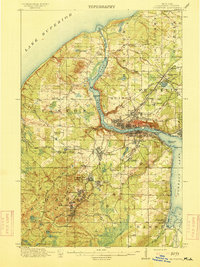
1915 · Houghton
USGS Topo · 1:62,500
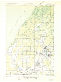
1941 · Ahmeek
USGS Topo · 1:31,680
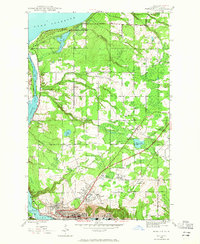
1946 · Hancock
USGS Topo · 1:24,000
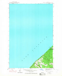
1946 · Muggun Creek
USGS Topo · 1:24,000
1946 · Ahmeek
USGS Topo · 1:24,000
1946 · Laurium
USGS Topo · 1:24,000
1947 · Ahmeek
USGS Topo · 1:24,000
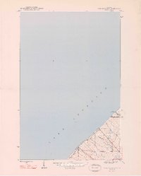
1948 · Muggun Creek
USGS Topo · 1:24,000
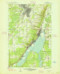
1948 · Laurium
USGS Topo · 1:24,000
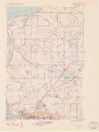
1948 · Hancock
USGS Topo · 1:24,000