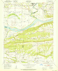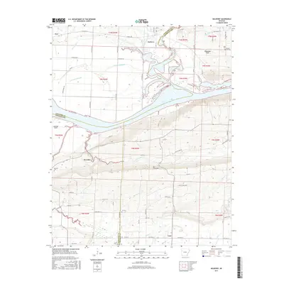
1948 Map of Mulberry
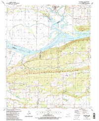
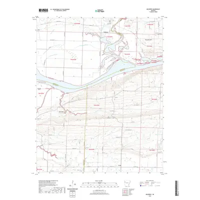
USGS Topo · Published 1972About this map
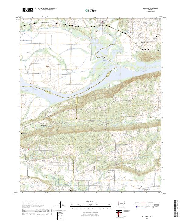
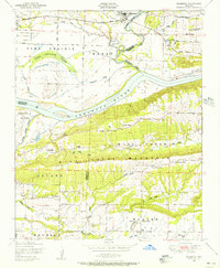
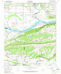
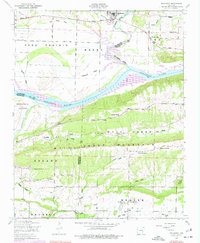
Mulberry stands at the northern edge of this Arkansas River valley landscape, where the Missouri Pacific railroad cuts through the terrain near the confluence of the Little Mulberry River and the main Mulberry River. The 1948 survey, photorevised in 1971, captures the region's agricultural and industrial character, from the Vine Prairie in the northwest to the active strip mines and gas wells in the Weaver area. The Arkansas River dominates the central portion of the map, notably shaped by the Ozark Reservoir, which surrounds Arbuckle Island. Local history is anchored by several rural congregations and landmarks, including Harmony Church, Bethel Church, and the Union School. The rise of Mill Creek Mountain provides a prominent natural barrier between the river valley and the smaller creek systems of Onion Creek and Hall Creek to the south.
Find a feature on this map
43 named features on this map. Tap any name to fly to it.
Don’t see what you’re looking for? This feature index may not catch every label — zoom into the map to look around manually.
Map Details
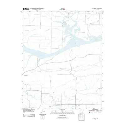
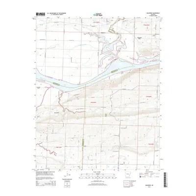
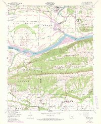
Editions of this 1948 Mulberry Map
4 editions found
Historical Maps of Mulberry Through Time
8 maps found