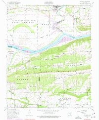
1948 Map of Mulberry
USGS Topo · Published 1977About this map
Mulberry and the surrounding river bottomlands are captured here during the mid-twentieth century, showing a landscape defined by the transition from agriculture to water management. The Arkansas River and the newly designated Ozark Reservoir dominate the central valley, bordered by the topographic heights of Mill Creek Mountain. Notable for local historians, the sheet identifies several rural congregations and community centers, including Harmony Church, Mount View Church, and Mount Hope Church, alongside the Union School. Economic activity is evidenced by a Strip mine in the southern Weaver area and the long-established path of the Missouri Pacific railroad. The map preserves the names of early landmarks like Arbuckle Island and Vine Prairie, reflecting the complex drainage patterns of Crooked Slough and Cottonwood Slough before modern channelization fully altered the floodplain.
Find a feature on this map
42 named features on this map. Tap any name to fly to it.
Don’t see what you’re looking for? This feature index may not catch every label — zoom into the map to look around manually.
Map Details
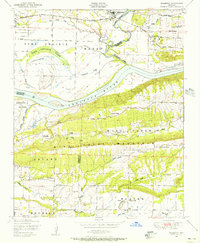
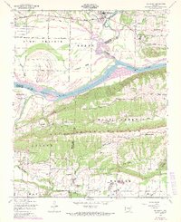
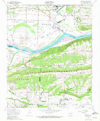
Editions of this 1948 Mulberry Map
4 editions found
Other maps of this area

1879 · Cravens
USGS Topo · 1:62,500

1887 · Magazine Mountain #2
USGS Topo · 1:62,500

1887 · Watalula
USGS Topo · 1:62,500

1887 · Magazine Mountain
USGS Topo · 1:62,500

1890 · Magazine Mountain
USGS Topo · 1:125,000

1890 · Fort Smith
USGS Topo · 1:125,000

1898 · Winslow #4
USGS Topo · 1:62,500

1898 · Winslow
USGS Topo · 1:125,000

1901 · Winslow
USGS Topo · 1:125,000

1906 · Lavaca
USGS Topo · 1:62,500