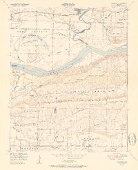
1951 Map of Mulberry
USGS Topo · Published 1951About this map
Mulberry and the surrounding river bottomlands are captured here in a period of transition, where the Mulberry River joins the Arkansas River amidst a complex network of sloughs and islands. The landscape is defined by the proximity of the Missouri Pacific railroad and the significant elevation of Mill Creek Mountain to the south. Local life is anchored by dispersed rural settlements like Pleasant View and Vine, supported by community institutions such as Union School and Mount Hope Church.
Find a feature on this map
42 named features on this map. Tap any name to fly to it.
Don’t see what you’re looking for? This feature index may not catch every label — zoom into the map to look around manually.
Map Details
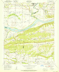
Editions of this 1951 Mulberry Map
2 editions found
Other maps of this area

1879 · Cravens
USGS Topo · 1:62,500

1887 · Magazine Mountain #2
USGS Topo · 1:62,500

1887 · Watalula
USGS Topo · 1:62,500

1887 · Magazine Mountain
USGS Topo · 1:62,500

1890 · Magazine Mountain
USGS Topo · 1:125,000

1890 · Fort Smith
USGS Topo · 1:125,000

1898 · Winslow #4
USGS Topo · 1:62,500

1898 · Winslow
USGS Topo · 1:125,000

1901 · Winslow
USGS Topo · 1:125,000

1906 · Lavaca
USGS Topo · 1:62,500