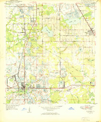
1950 Map of Mulberry
USGS Topo · Published 1950About this map
The industrial extraction of phosphate dominates the landscape around Mulberry at the midpoint of the twentieth century. This survey reveals a terrain heavily shaped by mining operations, with numerous areas marked as Strip Mine, Tailings, and Mine Dump surrounding the town and extending toward Prairie. The Atlantic Coast Line and Seaboard Air Line railroads provide the essential transit infrastructure for this resource-rich region.
Find a feature on this map
53 named features on this map. Tap any name to fly to it.
Don’t see what you’re looking for? This feature index may not catch every label — zoom into the map to look around manually.
Map Details
Editions of this 1950 Mulberry Map
This is the sole edition of this map. No revisions or reprints were ever made.
Other maps of this area
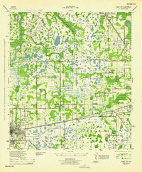
1944 · Plant City
USGS Topo · 1:31,680
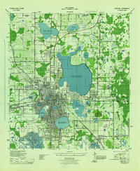
1944 · Lakeland
USGS Topo · 1:31,680
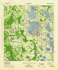
1944 · Auburndale
USGS Topo · 1:31,680
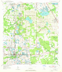
1949 · Mulberry
USGS Topo · 1:24,000
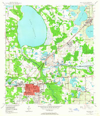
1949 · Bartow
USGS Topo · 1:24,000
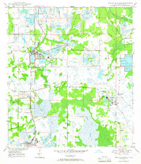
1949 · Bradley Junction
USGS Topo · 1:24,000
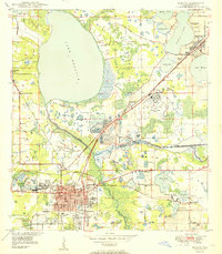
1950 · Bartow
USGS Topo · 1:24,000
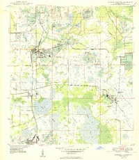
1950 · Bradley Junction
USGS Topo · 1:24,000
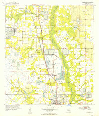
1952 · Homeland
USGS Topo · 1:24,000
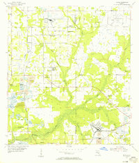
1955 · Nichols
USGS Topo · 1:24,000