
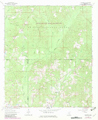
1964 Map of Mulberry
USGS Topo · Published 1965About this map
Mulberry sits at a remote road junction in the pine-dense interior of the De Soto National Forest during the mid-1960s. The landscape is defined by its shared boundaries, where the corners of Wayne, Perry, and Greene counties converge amidst a network of creek branches. The southern half of the quadrangle reveals a cluster of community life centered on several rural congregations, including Union Grove Ch and Lovewell Ch, along with the associated Union Cem.
Find a feature on this map
27 named features on this map. Tap any name to fly to it.
Don’t see what you’re looking for? This feature index may not catch every label — zoom into the map to look around manually.
Map Details
Editions of this 1964 Mulberry Map
3 editions found
Other maps of this area

1953 · Hattiesburg
USGS Topo · 1:250,000

1958 · Hattiesburg
USGS Topo · 1:250,000

1963 · Brewer
USGS Topo · 1:24,000

1964 · Rhodes
USGS Topo · 1:24,000

1964 · Richton
USGS Topo · 1:24,000

1964 · Clara
USGS Topo · 1:24,000

1964 · Strengthford
USGS Topo · 1:24,000

1964 · Avera
USGS Topo · 1:24,000

1964 · Piave
USGS Topo · 1:24,000
1984 · Citronelle
USGS Topo · 1:100,000