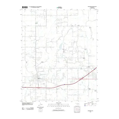
2010 Map of Muldrow
USGS Topo · Published 2010About this map
Muldrow and Roland anchor this portion of Sequoyah County, showing a landscape shaped by both early settlement patterns and modern infrastructure. The area is defined by a network of waterways including Little Skin Bayou and Camp Creek, which navigate around prominent local high points like Turnham Mountain and Petree Mountain. For those researching family history, the map provides precise locations for several burial grounds, such as Faulkner Cemetery, Upper Camp Creek Cemetery, and Roland Cemetery. The transition from the rural community of Liberty in the north to the more developed corridors near Muldrow Dam reflects the region's growth. Interesting local landmarks include Flat Rock and Remy Hollow, while the agricultural character of the land remains evident in areas like Moffett Bottom and the various rural routes threading through the terrain.
Find a feature on this map
45 named features on this map. Tap any name to fly to it.
Don’t see what you’re looking for? This feature index may not catch every label — zoom into the map to look around manually.
Map Details
Editions of this 2010 Muldrow Map
This is the sole edition of this map. No revisions or reprints were ever made.
Other maps of this area

1879 · Fort Smith
USGS Topo · 1:62,500

1887 · Van Buren
USGS Topo · 1:62,500

1890 · Fort Smith
USGS Topo · 1:125,000

1898 · Winslow #3
USGS Topo · 1:62,500

1898 · Tahlequah
USGS Topo · 1:125,000

1898 · Winslow
USGS Topo · 1:125,000

1900 · Sallisaw
USGS Topo · 1:125,000

1901 · Winslow
USGS Topo · 1:125,000

1901 · Tahlequah
USGS Topo · 1:125,000

1905 · Tahlequah
USGS Topo · 1:125,000