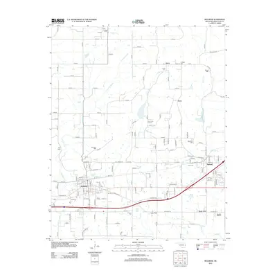
2012 Map of Muldrow
USGS Topo · Published 2012About this map
Muldrow and Roland anchor the southern corridor of this Sequoyah County landscape, where the flatlands of Moffett Bottom meet the rising foothills of the Ozarks. The terrain is defined by a series of prominent elevations, including Turnham Mtn and Mayfield Mtn, which overlook the winding paths of Little Skin Bayou and Camp Cr. Small communities like Liberty, Remy, and Long are scattered across the northern sections, connected by a network of rural roads that navigate the ridges and valleys.
Find a feature on this map
129 named features on this map. Tap any name to fly to it.
Don’t see what you’re looking for? This feature index may not catch every label — zoom into the map to look around manually.
Map Details
Editions of this 2012 Muldrow Map
This is the sole edition of this map. No revisions or reprints were ever made.
Other maps of this area

1879 · Fort Smith
USGS Topo · 1:62,500

1887 · Van Buren
USGS Topo · 1:62,500

1890 · Fort Smith
USGS Topo · 1:125,000

1898 · Winslow #3
USGS Topo · 1:62,500

1898 · Tahlequah
USGS Topo · 1:125,000

1898 · Winslow
USGS Topo · 1:125,000

1900 · Sallisaw
USGS Topo · 1:125,000

1901 · Winslow
USGS Topo · 1:125,000

1901 · Tahlequah
USGS Topo · 1:125,000

1905 · Tahlequah
USGS Topo · 1:125,000