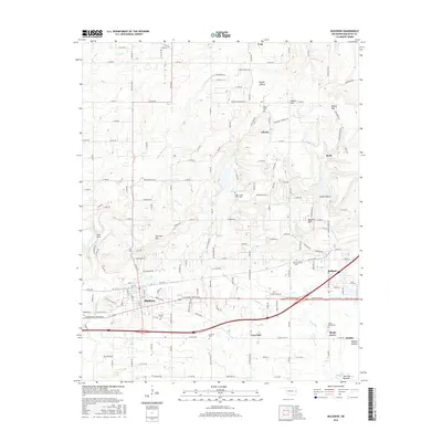
2016 Map of Muldrow
USGS Topo · Published 2016About this map
Muldrow serves as the primary hub of this eastern Oklahoma landscape, positioned where the terrain transitions from the alluvial Moffett Bottom to the rising elevations of the Cookson Hills. The map details a sophisticated network of rural roads connecting established communities such as Roland, Liberty, and Shady Grove. The topography is defined by prominent ridges including Jeremiah Mountain and Petree Mtn, which overlook the winding courses of Camp Creek and Garrison Creek. For those investigating local heritage, the sheet identifies several remote burial grounds, including the Upper Camp Creek Cemetery and Faulkner Cemetery. The presence of Muldrow Lake and Paw Paw Bottom highlights the area's complex drainage patterns near the Arkansas River floodplains, illustrating the historical reliance on these fertile lowlands and protected upland settlements.
Find a feature on this map
157 named features on this map. Tap any name to fly to it.
Don’t see what you’re looking for? This feature index may not catch every label — zoom into the map to look around manually.
Map Details
Editions of this 2016 Muldrow Map
This is the sole edition of this map. No revisions or reprints were ever made.
Other maps of this area

1879 · Fort Smith
USGS Topo · 1:62,500

1887 · Van Buren
USGS Topo · 1:62,500

1890 · Fort Smith
USGS Topo · 1:125,000

1898 · Winslow #3
USGS Topo · 1:62,500

1898 · Tahlequah
USGS Topo · 1:125,000

1898 · Winslow
USGS Topo · 1:125,000

1900 · Sallisaw
USGS Topo · 1:125,000

1901 · Winslow
USGS Topo · 1:125,000

1901 · Tahlequah
USGS Topo · 1:125,000

1905 · Tahlequah
USGS Topo · 1:125,000