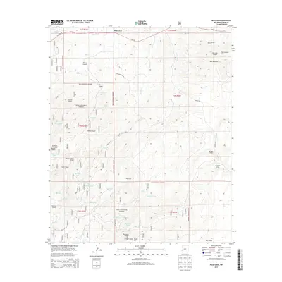
2013 Map of Mule Creek
USGS Topo · Published 2013About this map
Mule Creek sits in the high country of western New Mexico, serving as a focal point for ranching and forest management near the Arizona border. The landscape is dominated by the sprawling Gila National Forest, where a network of canyons like Walnut Canyon and Boiling Canyon carve through the high elevations of the Mule Mountains. Water management is the defining human footprint on this terrain, evidenced by numerous named stock tanks and springs essential for livestock in this arid environment.
Find a feature on this map
60 named features on this map. Tap any name to fly to it.
Don’t see what you’re looking for? This feature index may not catch every label — zoom into the map to look around manually.
Map Details
Editions of this 2013 Mule Creek Map
This is the sole edition of this map. No revisions or reprints were ever made.
Other maps of this area

1910 · Mogollon
USGS Topo · 1:125,000

1912 · Mogollon
USGS Topo · 1:125,000

1913 · Morenci
USGS Topo · 1:125,000

1915 · Morenci
USGS Topo · 1:125,000

1954 · Silver City
USGS Topo · 1:250,000

1954 · Clifton
USGS Topo · 1:250,000

1957 · Clifton
USGS Topo · 1:250,000

1958 · Silver City
USGS Topo · 1:250,000

1958 · Clifton
USGS Topo · 1:250,000

1959 · Steeple Rock
USGS Topo · 1:62,500