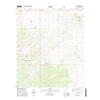
2017 Map of Mule Creek
USGS Topo · Published 2017About this map
Mule Creek sits at the northern edge of this high-desert landscape in western New Mexico, where the terrain breaks into a complex system of canyons and mesas. Much of the southern portion of the quadrangle is preserved within the Gila National Forest, dominated by the rising profile of Brushy Mtn. The reliance on water management in this arid region is evident through the dense distribution of named catchment points like Ball Park Tank, Steer Pasture Tank, and Mountain Tank.
Find a feature on this map
58 named features on this map. Tap any name to fly to it.
Don’t see what you’re looking for? This feature index may not catch every label — zoom into the map to look around manually.
Map Details
Editions of this 2017 Mule Creek Map
This is the sole edition of this map. No revisions or reprints were ever made.
Other maps of this area

1910 · Mogollon
USGS Topo · 1:125,000

1912 · Mogollon
USGS Topo · 1:125,000

1913 · Morenci
USGS Topo · 1:125,000

1915 · Morenci
USGS Topo · 1:125,000

1954 · Silver City
USGS Topo · 1:250,000

1954 · Clifton
USGS Topo · 1:250,000

1957 · Clifton
USGS Topo · 1:250,000

1958 · Silver City
USGS Topo · 1:250,000

1958 · Clifton
USGS Topo · 1:250,000

1959 · Steeple Rock
USGS Topo · 1:62,500