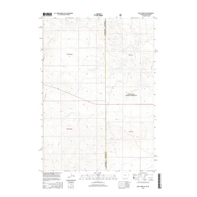
2015 Map of Mule Creek SE
USGS Topo · Published 2015About this map
The High Plains borderlands of eastern Wyoming and western South Dakota are defined by a complex network of seasonal drainage systems in this 2015 survey. The topography is dominated by the headwaters of Moss Agate Cr, including the N Fork Moss Agate Cr and S Fork Moss Agate Cr. These intermittent streams cut through the landscape, illustrating the vital role of water management in this arid ranching and grazing region. Public lands are prominent on the eastern side of the state line within the Buffalo Gap National Grassland, highlighting the federal conservation efforts in the Great Plains.
Find a feature on this map
11 named features on this map. Tap any name to fly to it.
Don’t see what you’re looking for? This feature index may not catch every label — zoom into the map to look around manually.
Map Details
Editions of this 2015 Mule Creek SE Map
This is the sole edition of this map. No revisions or reprints were ever made.
Other maps of this area

1902 · Edgemont
USGS Topo · 1:125,000

1950 · Edgemont SW
USGS Topo · 1:24,000

1950 · Burdock
USGS Topo · 1:24,000

1951 · Twentyone Divide
USGS Topo · 1:24,000

1955 · Hot Springs
USGS Topo · 1:250,000

1955 · Newcastle
USGS Topo · 1:250,000

1958 · Newcastle
USGS Topo · 1:250,000

1978 · Riverview
USGS Topo · 1:24,000

1978 · Mule Creek
USGS Topo · 1:24,000

1978 · Coffee Flats
USGS Topo · 1:24,000